What is recorded here
Situated on a level, low-lying landscape with a canalised W-E stream c. 100m to the N. This is represented as a D-shaped feature (ext. dims c. 45m NE-SW; c. 40m NW-SE) truncated by a NW-SE field bank at S with a central quarry (diam. c. 20m) only on the 1836 edition of the OS 6-inch map where it is described as a ‘Fort’. This is a low and overgrown gravel hillock that is partly quarried. It might not be an antiquity, and the possible earthwork (ME035-015----) is c. 160m to the SE.
The above description is derived from the published 'Archaeological Inventory of County Meath' (Dublin: Stationery Office, 1987). In certain instances the entries have been revised and updated in the light of recent research.
Compiled by: Michael Moore
Date of revision: 5 July 2019
The monument record does not grant public access. Check the route and ask the landowner before entering private land.
- What survives
- Recorded monument
Places near here
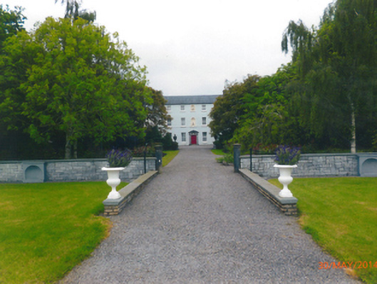 Parkstown Housecountry house · 969 yd
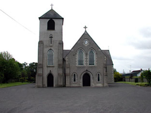 Saint Columbanus's Catholic Churchchurch/chapel · 1041 yd
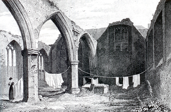 Portlester Ho.Castle, unclassified · 1719 yd
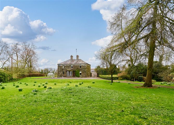 Enclosure in CrossanstownEnclosure · 1.3 mi
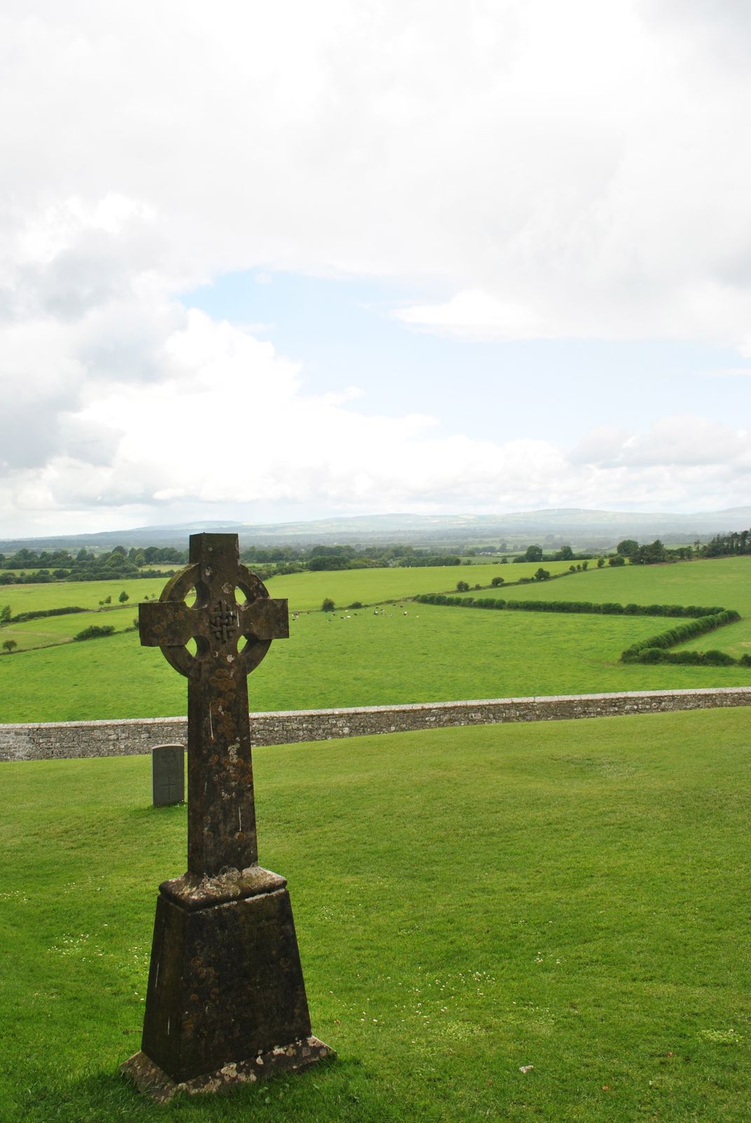 Cross in KillaconniganCross · 1.4 mi
 Carrantstown CastleCastle, unclassified · 1.8 mi
 European BeechEuropean Beech · 2.9 mi
 Common LimeCommon Lime · 3.0 mi
 FraineMountain / peak · 5.0 mi
 Croppies' GraveMemorial · 6.5 mi
 Cloncurry GraveyardHeritage attraction · 10 mi
 Old Bog Road made famous by Teresa Bryton 1868-1943Memorial · 11 mi