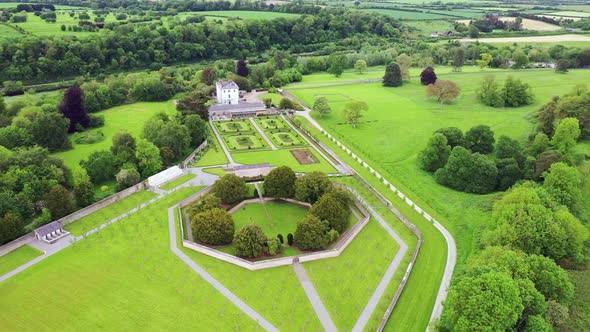
What is recorded here
Ballinteskin in County Louth holds a possible field system fifty metres north and northeast of a ringfort. The land may have divided a small life into gardens, pasture and home, while the ringfort watched the edges. That much is visible. The rest belongs to the people who walked it, tended it and left it behind.
There are traces of a possible field system c. 50m to N and NE of ringfort (LH005-037001-).
Compiled by: Claire Breen
Date of upload: 22 November 2011
The monument record does not grant public access. Check the route and ask the landowner before entering private land.
- What survives
- Recorded monument
Places near here
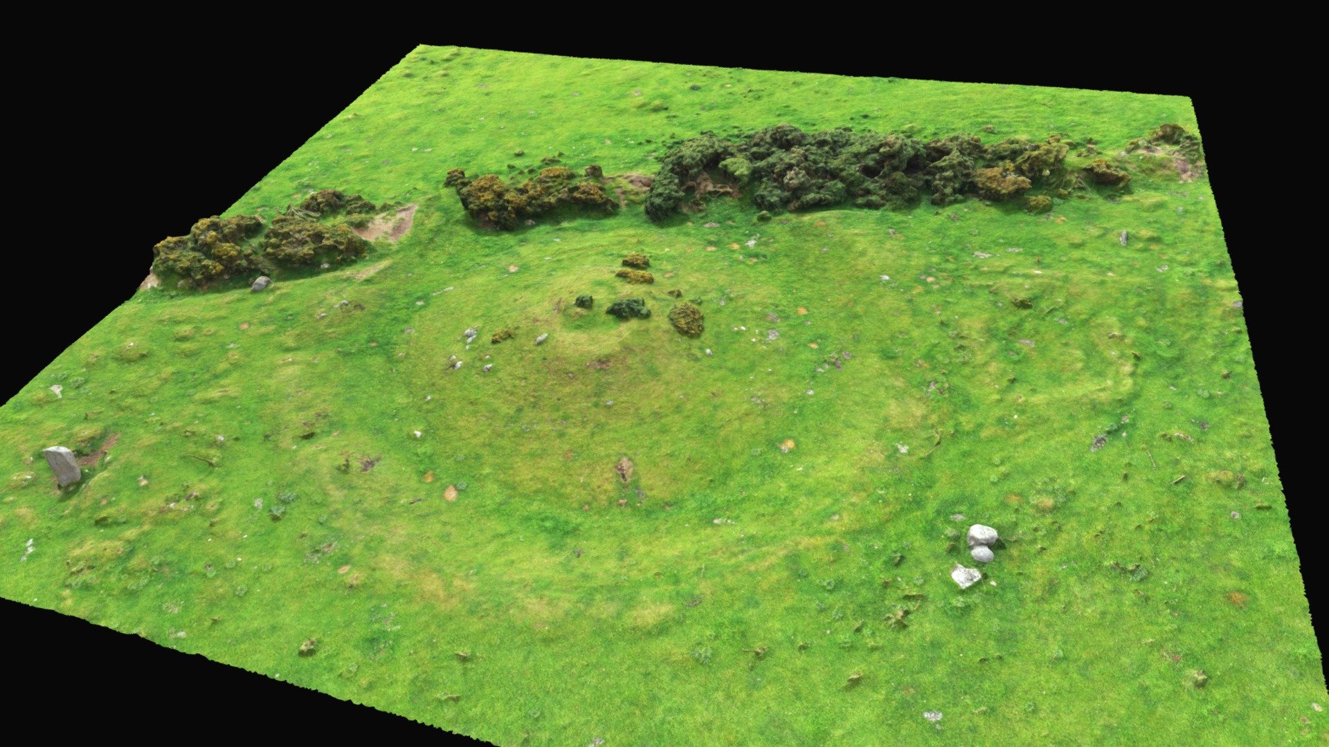 Hut site in BallinteskinHut site · 64 yd
 Hut site in BavanHut site · 729 yd
 The Foxes RockMountain / peak · 1071 yd
 Long Woman's GraveArchaeological place · 1083 yd
 Cooley MountainsMountain range · 1.1 mi
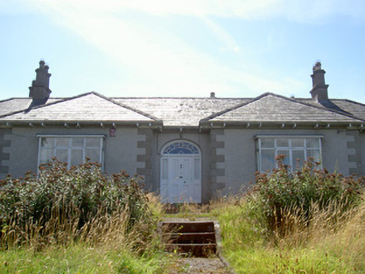 Nucella Lodgehouse · 1.2 mi
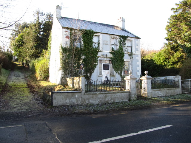 Oberon Villahouse · 1.2 mi
 The Ravens RockMountain / peak · 1.3 mi
 Carlingford Lough GreenwayWalking route · 1.3 mi
 Joanne ReillyMemorial · 2.3 mi
 Carlingford LoughSea lough and mountain landscape · 2.7 mi
 TOWER-HOUSE AND BAWN: NARROW WATER CASTLE in Narrow WaterTOWER-HOUSE AND BAWN: NARROW WATER CASTLE · 3.0 mi
Other information
Photo: Credit not shown in the picture search · Rights wording not checked; contact us if this picture should be removed