What is recorded here
In grassland on a SE-facing slope of rising ground in upland region with good views to S and E, higher ground to N. Large clump (dims. 16m N-S x 18m E-W) of thorn bushes in corner of field marks site of enclosure unable to examine the surface to see if there were any remains of a bank and outer fosse. No other features visible. Depicted as a semi-circular enclosure in corner of field on 1840 ed. OS 6-inch map.
Compiled by: Jean Farrelly
Date of upload: 26 August 2011
The monument record does not grant public access. Check the route and ask the landowner before entering private land.
- What survives
- Recorded monument
Places near here
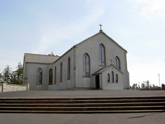 Catholic Church of the Assumptionchurch/chapel · 304 yd
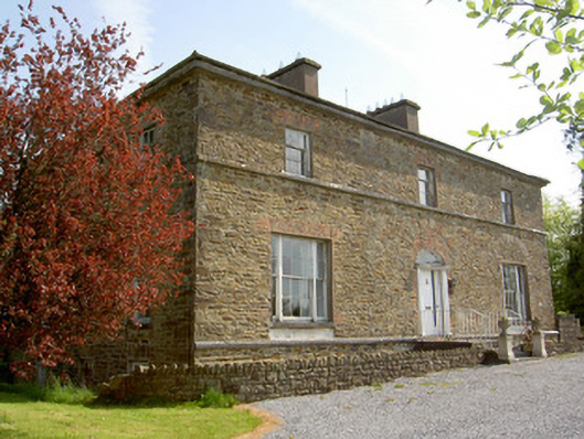 The Gleberectory/glebe/vicarage/curate's house · 1414 yd
 Enclosure in GlengallEnclosure · 1486 yd
 Site of ChurchChurch · 1676 yd
 Site of CastleCastle, unclassified · 1701 yd
 Ballingarry Castle (ruins)Archaeological place · 1.0 mi
 Top Field at Carey'sForest · 1.6 mi
 Second Field on the HillForest · 1.8 mi
 Warhouse HillMountain / peak · 2.2 mi
 Bregaun HillMountain / peak · 3.9 mi
 Derrynaflan TrailHeritage attraction · 7.1 mi
 Gobban Saer's GraveArchaeological place · 8.2 mi