
What is recorded here
Partially hachured is a fairy fort or earthen ringfort in Ballinaspick or Bishopstown, County Westmeath, Ireland. Situated on an east-southeast-facing slope of a low rise in gently undulating pasture, the monument was described in 1971 as a poorly preserved oval-shaped area measuring 31.5 metres east-southeast to west-northwest and 21 metres north-northeast to south-southwest. It is enclosed by an earth and stone bank that is almost reduced to a scarp in places, with the best preservation from southeast through south to west-southwest, a condition possibly accentuated by an encroaching field fence. Slight remains of an external fosse are best preserved at the northwest, while the interior features a gentle east-facing slope planted with large trees and crossed by a laneway at the east-northeast.
Situated on an ESE-facing slope of a low rise, in gently undulating pasture. Monument described in 1971 as a poorly preserved oval-shaped area (dims. 31.5m ESE-WNW; 21m NNE-SSW) enclosed by a bank and external fosse. The earth and stone bank is almost reduced to a scarp in places and is best preserved from SE-S-WSW however this may be accentuated by a field fence which encroaches on the site at this point. There are the slight remains of an external fosse which is best preserved at NW. No clear entrance feature visible. The interior has a gentle E-facing slope and is planted with large trees. A laneway crosses the outermost perimeter at ENE.
Compiled by Alison McQueen, Vera Rahilly and Caimin O’Brien.
Date of upload: 27 August 2019
The monument record does not grant public access. Check the route and ask the landowner before entering private land.
- What survives
- Recorded monument
Places near here
 CaveMan-made underground passage · 401 yd
 IndicatedCastle, unclassified · 619 yd
 Mosstown Houseoutbuilding · 701 yd
 Bishopstown Castle in ruinsCastle, unclassified · 1105 yd
 Sam's ParkForest · 1212 yd
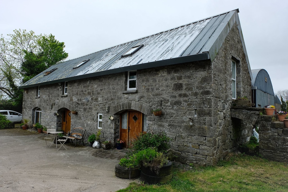 Enclosure in Ballinaspick or BishopstownEnclosure · 1263 yd
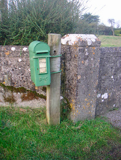 post boxpost box · 1320 yd
 Japanese pagoda treeJapanese pagoda tree · 1.4 mi
 KnockastiaMountain / peak · 1.5 mi
 Charles BianconiMemorial · 6.2 mi
 Moate HillMountain / peak · 6.2 mi
 The Bob Traynor GalleryGallery · 6.3 mi
Other information
Photo: Credit not shown in the picture search · Rights wording not checked; contact us if this picture should be removed