What is recorded here
No church, no abbey, no religious name survives. Only a D-shaped wall at the crest of a SE-facing slope in Clonard parish, marked Grave Yard on maps since 1836. Headstones from 1790 to 1923 stand among numerous smaller markers, suggesting ordinary people chose this quiet rise for their final rest long before any formal record was kept.
Located at the crest of a SE-facing slope. There are no ecclesiastical associations with this burial ground in Clonard parish. It is marked faintly as a circular area (diam. c. 30m) with bushes described as a ‘Grave Yard’ on the 1836 ed. of the OS 6-inch map where it incorporates the boundary of a small detached portion (c. 0.75 acres) of Ballasport townland on the W side. It is marked similarly on the 1910 ed. of the map. This is a D-shaped area (dims c. 28m NW-SE; c. 23m NE-SW) defined by masonry walls. The few headstones date from 1790 to 1923 but there also numerous grave-markers.
Compiled by: Michael Moore
Date of upload: 24 March, 2015
The monument record does not grant public access. Check the route and ask the landowner before entering private land.
- What survives
- Recorded monument
Places near here
 OutlinedFairy fort / ringfort · 1.1 mi
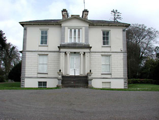 Mount Heveycountry house · 1.1 mi
 Partially indicatedFairy fort / earthen ringfort · 1.6 mi
 Abandoned Kinnegad CanalWood · 1.9 mi
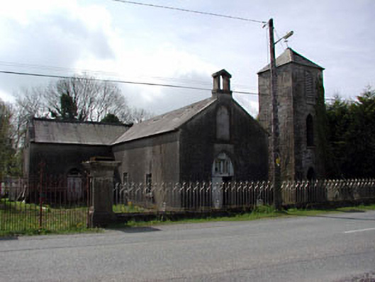 Saint Mary's Catholic Chapelchurch/chapel · 2.3 mi
 Ardnamullan CastleCastle, tower house · 2.7 mi
 Queen Marys CastleCastle, tower house · 3.5 mi
 Croppies' GraveMemorial · 3.7 mi
 ScregganWood · 4.0 mi
 Enclosure in Newtown or CloneenEnclosure · 2.1 mi
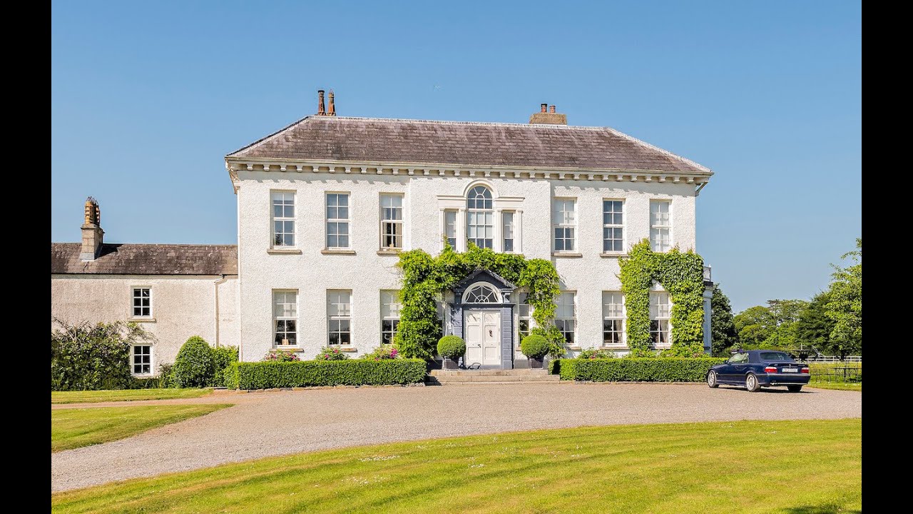 Concentric enclosure in Anneville or Clonard OldConcentric enclosure · 2.2 mi
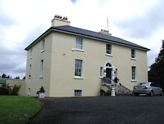 Glebe Houserectory/glebe/vicarage/curate's house · 2.5 mi