What is recorded here
Fairy fort / ringfort in Baile Uí Churraoin Theas is a fairy fort or ringfort in Baile Uí Churraoin Theas, County Waterford, Ireland. The 1926 Ordnance Survey map marked a circular embanked enclosure with an external diameter of about 40 metres. That same account recorded the site in pasture at the crest of a south-facing slope above a northwest-southeast ravine, with a stream 140 metres to the southwest and sea cliffs 100 metres to the southeast, but it was not visible at ground level during the observation recorded in that account.
Marked only on the 1926 ed. of the OS 6-inch map as a circular embanked enclosure (ext. diam. c. 40m). Situated in pasture at the crest of the S-facing slope of a NW-SE ravine, with the stream c. 140m to the SW, and sea-cliffs c. 100m to the SE. It is not visible at ground level.
The above description is derived from the published 'Archaeological Inventory of County Waterford' (Dublin: Stationery Office, 1999). In certain instances the entries have been revised and updated in the light of recent research.
Compiled by: Michael Moore
Date of upload/revision: 17th October, 2011.
The monument record does not grant public access. Check the route and ask the landowner before entering private land.
- What survives
- Recorded monument
Places near here
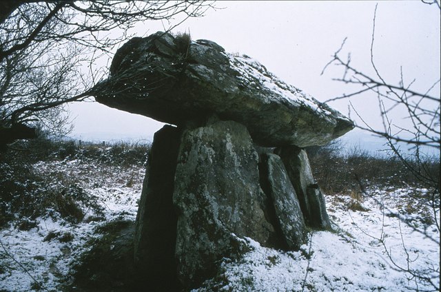 DolmenCourt tomb · 539 yd
 EntrenchmentPromontory fort, coastal · 1379 yd
 Church in LoiscreánChurch · 1408 yd
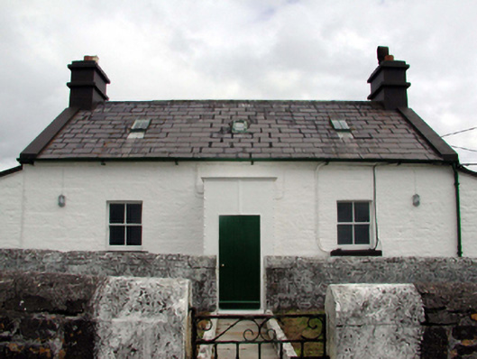 Mine Head Lighthouselighthouse keeper's house · 1.1 mi
 Site of CastleCastle, unclassified · 1.5 mi
 Erin's Hope 1867Memorial · 3.5 mi
 Tobar Uí GríobtháinSpring · 3.6 mi
 Ceann HeilbhicHeadland · 3.6 mi
 Cunnigar PointHeadland · 5.4 mi
 Castle (in ruins)Castle, unclassified · 5.5 mi
 Ballyquinn BeachBeach / strand · 5.5 mi
 Dungarvan World War I MemorialMemorial · 5.8 mi