
What is recorded here
Situated on a coastal promontory jutting E from the mainland. The promonntory is defended at W by a section of rock outcrop (Wth c. 15m; int. H 2.4m; ext. H 2.8m) surmounted by a grass-covered earthen bank (Wth 4m; H 1m) with an outer flat-bottomed fosse (Wth of top 12m; Wth of base 2m; D below rock outcrop 2.8m; ext. D 1.8m). There is a causeway (Wth 6-9m; L 9m) N of the rock outcrop and a rock-cut fosse (L 10m; Wth of top 8m; D 1-2m) N of the causeway (total L of fosse 30m). The interior is rectangular in plan (dims. 22m N-S; 20m E-W). (Westropp 1914-16, 202-3)
Westropp, T. J. (1914-16) Fortiified headlands and castles on the south coast of Munster. PRIA C vol. 32, 188-227.
The above description is derived from the published 'Archaeological Inventory of County Waterford' (Dublin: Stationery Office, 1999). In certain instances the entries have been revised and updated in the light of recent research.
Compiled by: Michael Moore
Date of upload/revision: 17 October 2011
The monument record does not grant public access. Check the route and ask the landowner before entering private land.
- What survives
- Recorded monument
Places near here
 Embanked enclosureEnclosure · 367 yd
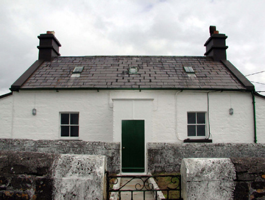 Mine Head Lighthouselighthouse keeper's house · 536 yd
 Mionn ArdLighthouse · 558 yd
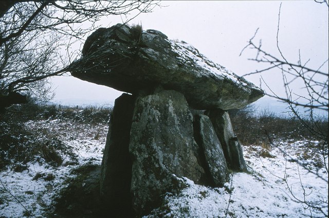 DolmenCourt tomb · 840 yd
 Site of CastleCastle, unclassified · 1.1 mi
 Erin's Hope 1867Memorial · 4.2 mi
 Tobar Uí GríobtháinSpring · 4.3 mi
 Ceann HeilbhicHeadland · 4.3 mi
 Ballyquinn BeachBeach / strand · 5.2 mi
 Curragh/Pebble BeachBeach / strand · 5.7 mi
 Castle (in ruins)Castle, unclassified · 6.1 mi
 Cunnigar PointHeadland · 6.2 mi
Other information
Photo: Credit not shown in the picture search · Rights wording not checked; contact us if this picture should be removed