
What is recorded here
Top of a drumlin in Attirory, a 150m grass ring still marks an old churchland: bank and shallow ditch at the edge, burial ground inside, no building left to name. The southwest arc hid a wider ditch, post holes, pits with animal bones and metal slag, as if part of the sacred circle also fed and forged ordinary life. Strip and refill for development, then cover the ditch beneath protective cloth: the ring disappears from sight but remains under the ground, holding its dead, its tools and its forgotten certainty.
Located towards the top of a prominent drumlin. The burial ground (LE031-039----) is at the centre of a grass-covered circular earthen enclosure (diam. c. 150m) defined by an earthen bank that is best preserved at NW (Wth of base 3.5m; H 0.65m) with a slight external fosse (Wth 2.5m), but it is reduced to a scarp (max. H 1m E-SE) over much of the perimeter elsewhere. There is no evidence of a church (LE031-039001-), but there is a burial ground (LE031-039001-) within the enclosure where the bullaun stone (LE031-039002-) was re-discovered. Archaeological testing (03E1788) c. 40m to the NNE of the perimeter at the closest point produced no related material (Read 2006), but archaeological testing (18E0707) in the SW quadrant identified a ditch (Wth 4-7m) on the line of the perimeter. Other features in this area were post-holes and pits containing animal bones and metal slag, suggesting that this part of the enclosure was devoted to industrial activity (McHugh 2019; exavations.ie 2019:075). The area was completely stripped in May 2020 under the same licence (McHugh 2021), revealing the ditch (L 33m; Wth of top 3.1-3.5m; D 0.65m plus) with three upper fills of clay with stones. The development site was subsequently back-filled, the fosse being preserved beneath a geotextile protective layer.
Compiled by: Michael Moore
Date of upload: 11 May, 2015
Amended: 15 October, 2019, 10 January 2020, 3 August 2021
The monument record does not grant public access. Check the route and ask the landowner before entering private land.
- What survives
- Recorded monument
Places near here
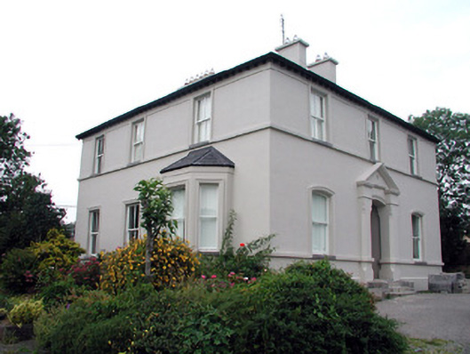 The Rectoryrectory/glebe/vicarage/curate's house · 1216 yd
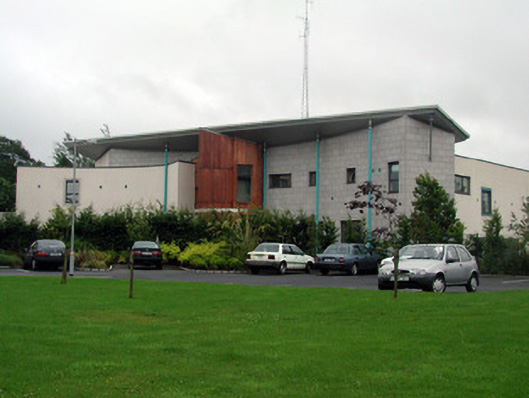 Carrick-on-Shannon Courthousecourt house · 1316 yd
 Moon RiverHeritage attraction · 1475 yd
 Fortification in TownparksFortification · 1542 yd
 IndicatedFairy fort / earthen ringfort · 1755 yd
 CastlecarraCastle, unclassified · 1.2 mi
 Patrick Gill Memorial Plaque (IRA)Monument · 2.8 mi
 Robert Strawbridge MemorialMemorial · 2.8 mi
 Wildlife AreaNature reserve · 3.0 mi
 Hughestown WoodForest · 3.5 mi
 Site of Dangan CastleCastle, unclassified · 3.6 mi
 Leabaidh DermotCave · 4.6 mi
Other information
Photo: Credit not shown in the picture search · Rights wording not checked; contact us if this picture should be removed