What is recorded here
Listed as a 'hut site' in the SMR (1986) and as a possible 'hut site' in the RMP (1995) based on aerial photographic evidence (GSI O 90/91 (1973)). In forestry on a marked SE-facing mountain slope.
Compiled by: Matt Kelleher
Date of upload: 11 December 2012
The monument record does not grant public access. Check the route and ask the landowner before entering private land.
- What survives
- Recorded monument
Places near here
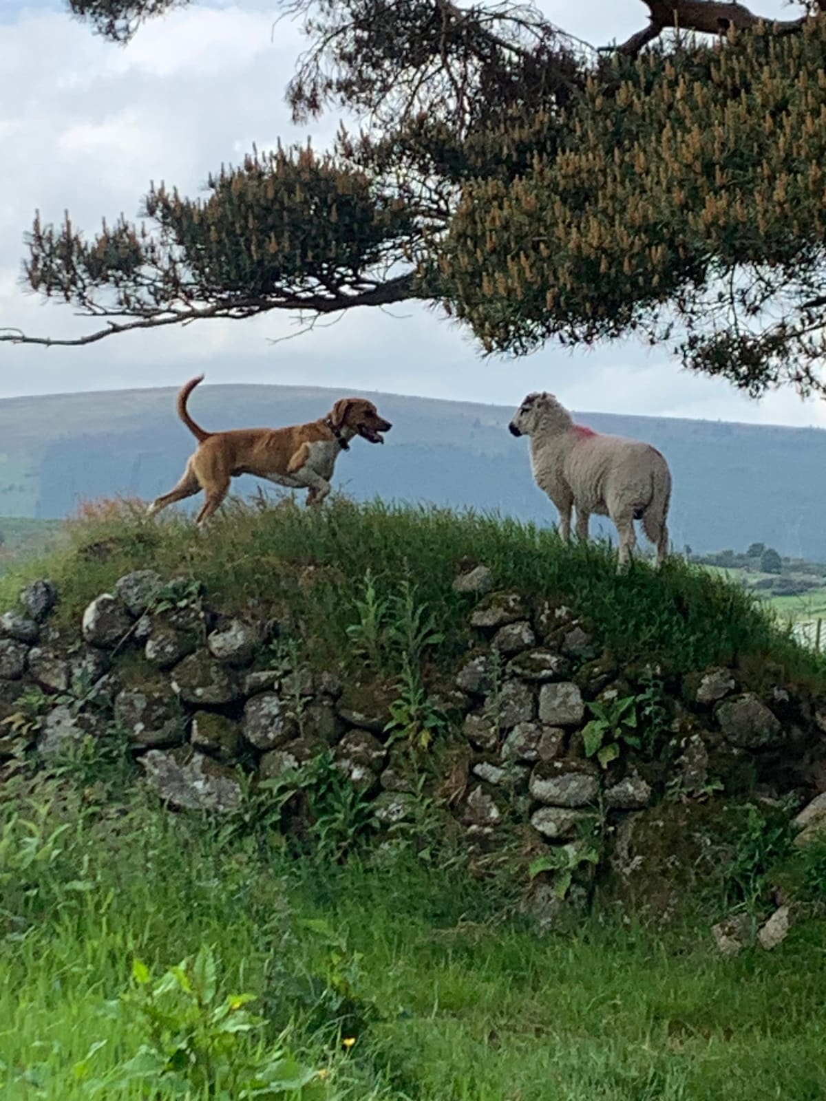 NurseryEnclosure · 979 yd
 Scots PineScots Pine · 1400 yd
 SeefinMountain / peak · 1522 yd
 Passage tomb in ScurlocksleapPassage tomb · 1557 yd
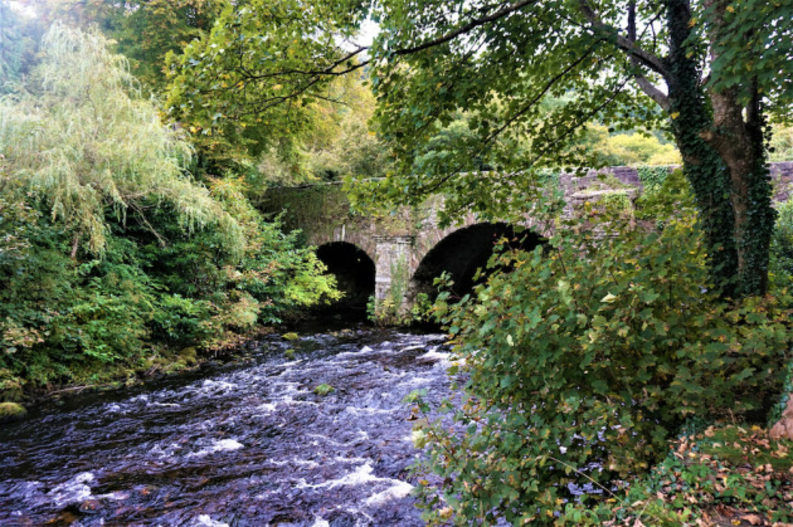 Athdown MoatCastle, motte · 1.1 mi
 SeefinganMountain / peak · 1.2 mi
 Coronation PlantationWood · 1.6 mi
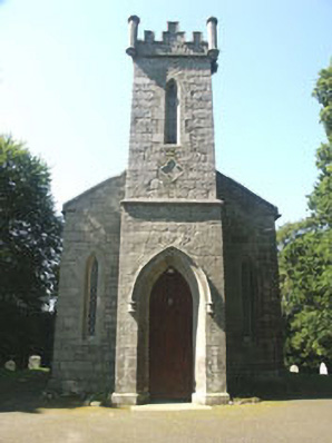 Saint John's Church (Kilbride)church/chapel · 2.2 mi
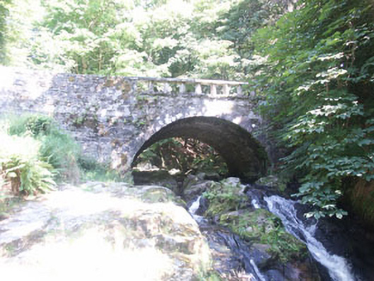 Cloghleagh Bridgebridge · 2.2 mi
 OldcourtMemorial · 3.6 mi
 Site of CastleCastle, unclassified · 3.8 mi
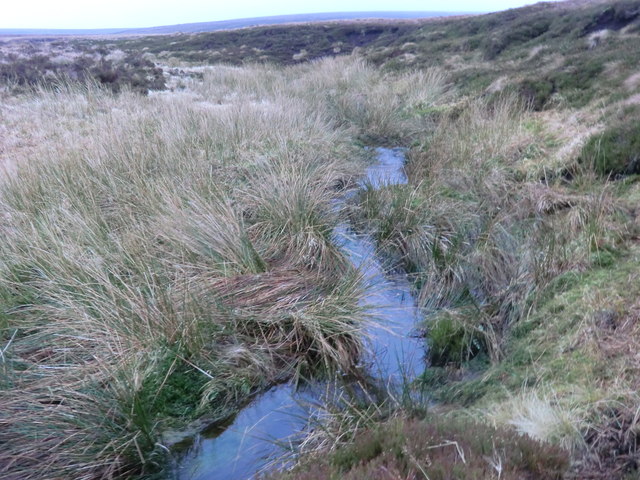 Source of River LiffeySpring · 3.9 mi