What is recorded here
No visible boundary, no owner's name, no warning label. That is the shape of a rath: a room built from exclusion. The point is not to picture a chamber or possess a room. The point is to stop inventing the chamber and discovering whether the exclusion still works.
Rath is recorded as a archaeological place in County Armagh. Its open map record supplies this location and any linked names or public references.
Places near here
 Enclosure in RaskeaghEnclosure · 526 yd
 MonascreebeMountain / peak · 1125 yd
 Raskeagh FortCastle, motte and bailey · 1572 yd
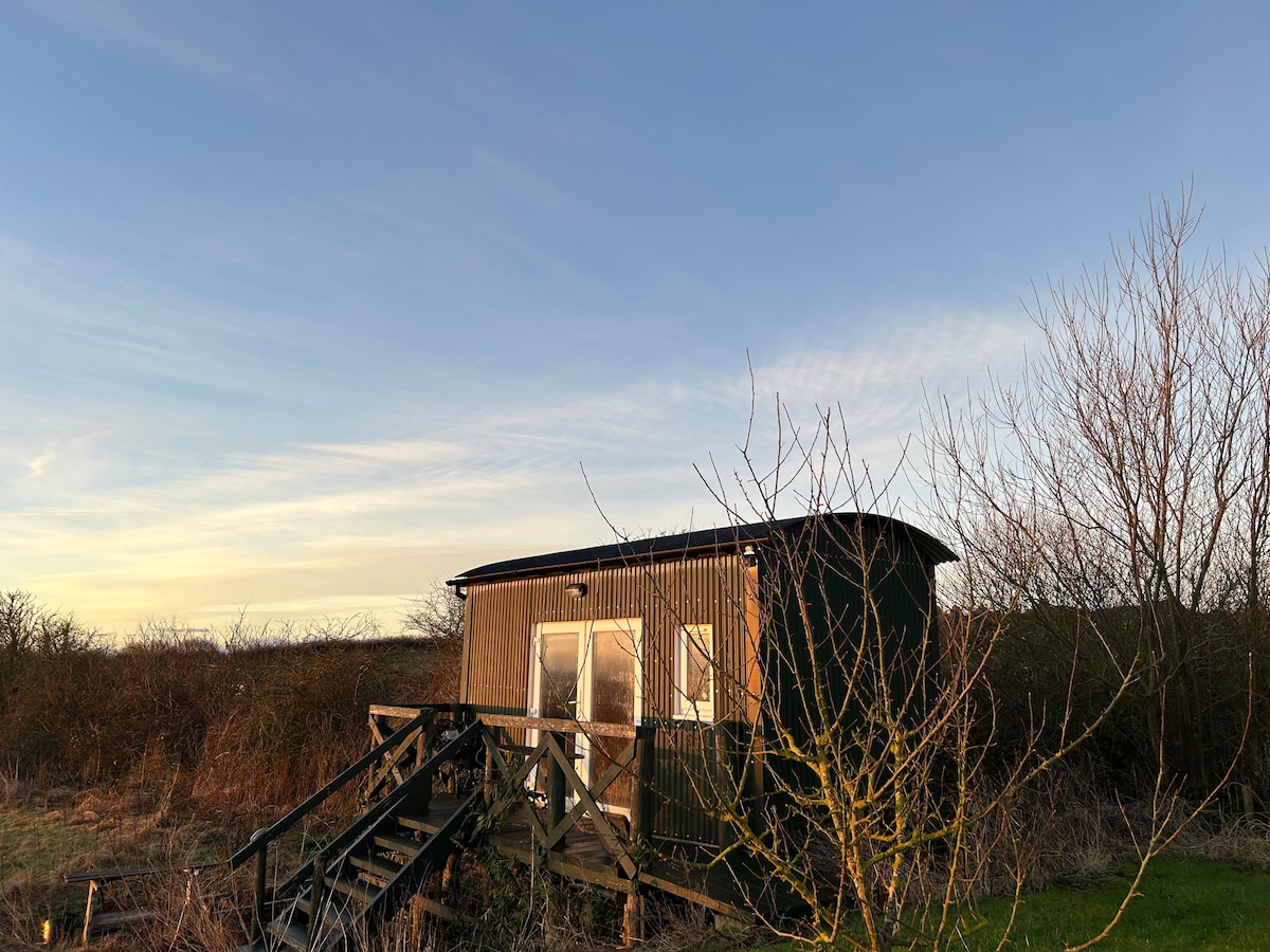 Hut site in CarrickedmondHut site · 1637 yd
 TievecromMountain / peak · 1.1 mi
 St. Brigids StationPenitential station · 1.2 mi
 Ring of Gullion Way - Section 3Walking route · 1.3 mi
 IndicatedChurch · 1.4 mi
 TumulusCastle, motte and bailey · 1.4 mi
 Moyry CastleCastle · 1.5 mi
 Ring of Gullion Way - ForkhillVisitor information · 1.7 mi
 Forkhill Greenspace PathwayWalking route · 1.7 mi