What is recorded here
In pasture, located on a terrace on the S-facing slope of Twomilestone ridge. This is the approximate location of a hut site first recorded by Davies (1942, 100), one of several hut sites (see also DG103-057005-, DG103-058----, DG103-060----, DG107-004003-) he found on the ridge. He designated it as ‘hut f’ and recorded it as follows: ‘Hut f, which is barely traceable, is circular and about 9 yds. [8m] across.’ It was extant in 1981 when it was recorded by Lacy et al. (1983, 154, no. 923) as ‘A subcircular area defined by a scatter of grass-covered stones, only barely discernible. The interior is level. It is situated just below the crest of Two Mile Ridge on its S side in rocky pasture land.’ The area was inspected in 2015; no visible trace of this possible hut site was evident.
Compiled by: Jane O'Shaughnessy
Date of upload: 5 September 2016
This remains an important historical record, but the official description says the monument is no longer visible or has been destroyed. The monument record does not grant public access. Check the route and ask the landowner before entering private land.
- What survives
- No visible remains or recorded as destroyed
Places near here
 Enclosure in ArdpattanEnclosure · 145 yd
 IndicatedCliff-edge fort · 186 yd
 Church in ArdgillewChurch · 1088 yd
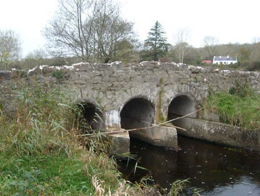 Tullymore Bridgebridge · 1601 yd
 HawthornHawthorn · 1.2 mi
 St Anne's Church GraveyardGraveyard · 2.3 mi
 CastleCastle, unclassified · 2.3 mi
 RossnowlaghOfficial bathing water · 2.4 mi
 Kilbarron Old Church GraveyardGraveyard · 2.5 mi
 Castle (Site of)Castle, unclassified · 2.7 mi
 Dark Cliffs at KilbarronPublicly named cliff or headland · 3.2 mi
 Wardtown StrandBeach / strand · 3.4 mi