What is recorded here
Indicated is a walled graveyard atop a steep west-facing slope in County Meath, overlooking the River Boyne. The parish church of Ardmulchan stands inside its rectangular boundary, accompanied by a cross-slab and three graveslabs. The sharp drop toward the water suggests people chose this high ground deliberately, keeping the dead above the river rather than buried beneath it.
Located at the top of the steep W-facing slope down to the SW-NE River Boyne where the stream is about 100m to the W and turning N. The parish church of Ardmulchan (ME025-020----) is within a subrectangular graveyard (dims c. 48-58m E-W; c. 35m N-S at E to c. 57m N-S at W) defined by masonry walls. The cross-slab (ME025-020002-) and three graveslabs are within the graveyard.
Compiled by: Michael Moore
Date of upload:11 September, 2014
The monument record does not grant public access. Check the route and ask the landowner before entering private land.
- What survives
- Recorded monument
Places near here
 Church (in Ruins)Church · 13 yd
 CastleCastle, motte · 109 yd
 Enclosure in ArdmulchanEnclosure · 243 yd
 Dunmoe CastleCastle, unclassified · 729 yd
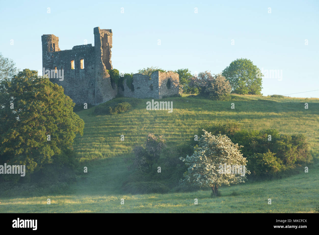 Enclosure in DunmoeEnclosure · 1153 yd
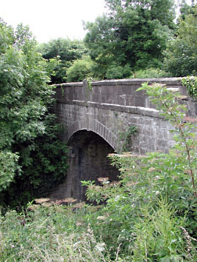 Thompson Bridgebridge · 1691 yd
 Rowley's WoodWood · 1.1 mi
 Cocker's WoodWood · 1.4 mi
 Donaghmore Round TowerHeritage attraction · 1.5 mi
 Carn HillMountain / peak · 1.5 mi
 Nangle CourtMemorial · 2.8 mi
 RiverviewMemorial · 4.1 mi