
What is recorded here
A broken circle of earth still marks the western half of an enclosure beside the Ardkill church, its eastern half lost beneath pasture and time. The surviving bank is low, broad and grass-smothered, yet it preserves the shape of a place where people once drew a line around what mattered.
In level, poor, rushy pasture c. 150m SE of a medieval church (KD008-009001-) and graveyard (KD008-009002-). A D-shaped area (diam. 26m NE-SW), with a straight NE side (L 65m) appears to be the W-half of an originally circular or oval enclosure. It is defined by a low grass covered, earthen bank (Wth 5.1m; H 0.4m) from S to NW, but by a modern field bank along it's straight NE side. There is no obvious visible surface trace of the E-half of the monument.
Compiled by: Gearóid Conroy
Date of upload: 10 June 2011
The monument record does not grant public access. Check the route and ask the landowner before entering private land.
- What survives
- Recorded monument
Places near here
 Ecclesiastical enclosure in ArdkillEcclesiastical enclosure · 248 yd
 Church (in Ruins)Church · 258 yd
 Castle in RuinsCastle, tower house · 611 yd
 Church FieldChurch · 969 yd
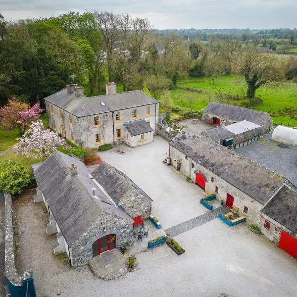 Enclosure in Collinstown (carbury Ed)Enclosure · 1452 yd
 CastleCastle, unclassified · 1.1 mi
 Horse-chestnutHorse-chestnut · 2.6 mi
 Buggan's WoodWood · 3.9 mi
 Lullymore Heritage ParkHeritage attraction · 6.2 mi
 The Fairy BowerHeritage attraction · 6.2 mi
 Grand Canal WayVisitor information · 7.8 mi
 Sli na Slainte - mapVisitor information · 9.6 mi
Other information
Photo: Credit not shown in the picture search · Rights wording not checked; contact us if this picture should be removed