
What is recorded here
According to the OSL (Herity 2005, 31-2), 'There is a field in the S.E. part of Collinstown townland called Church yard field from having a church formerly situated in it, of which there is not a vestige remaining. Killcooney church is shewn in the Engraved Maps from Sir W. Pettys Survey and some old people call the portion of Collinstown South of Killcooney River, Killcooney Townland'. The field is named 'Church Field' on the 1st. ed. (1838) of the OS 6-inch map and survives as a large sub-rectangular area (dims. L c. 500m ENE; Wth c. 180m), in gently undulating pasture, drained immediately to the N by the NE-flowing Kilcooney River. There is no visible surface of a church but a granite saddle quern (KD008-021----) was found in the field, suggesting possible early ecclesiastical activity there.
Compiled by: Gearóid Conroy
Date of upload: 10 June 2011
The monument record does not grant public access. Check the route and ask the landowner before entering private land.
- What survives
- Recorded monument
Places near here
 Enclosure in ArdkillEnclosure · 969 yd
 Ecclesiastical enclosure in ArdkillEcclesiastical enclosure · 1194 yd
 Church (in Ruins)Church · 1202 yd
 Castle in RuinsCastle, tower house · 1421 yd
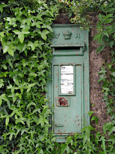 post boxpost box · 1628 yd
 CastleCastle, unclassified · 1.4 mi
 Horse-chestnutHorse-chestnut · 2.7 mi
 Buggan's WoodWood · 4.4 mi
 Lullymore Heritage ParkHeritage attraction · 6.3 mi
 Cloncurry GraveyardHeritage attraction · 6.3 mi
 Grand Canal WayVisitor information · 7.5 mi
 Sli na Slainte - mapVisitor information · 10.0 mi
Other information
Photo: Credit not shown in the picture search · Rights wording not checked; contact us if this picture should be removed