What is recorded here
Fairy fort / earthen ringfort in Ardillon is a fairy fort or earthen ringfort in Ardillon, County Westmeath, Ireland. Situated on a prominent rise in gently undulating and hilly pasture, the site was annotated as a fort on the 1837 OS Fair Plan map, where it appeared as a circular-shaped earthwork defined by a scarp. In a 1971 description, the levelled monument was recorded as an oval-shaped area measuring 40.5 metres on a north-northwest to south-southeast axis and 37.5 metres on a northwest to southeast axis, bounded by a very slight scarp with a maximum height of one metre.
Situated on a prominent rise, in gently undulating and hilly pasture, with views restricted by surrounding land. Ringfort (WM026-014----) lies c. 70m to SW. Annotated ‘fort’ on the 1837 OS Fair Plan map where it is depicted as a circular-shaped earthwork defined by a scarp and . Levelled monument described in 1971 as an oval-shaped area (dims. 40.5m NE-SW; 37.5m NW-SE) defined by a very slight scarp (max. H 1m) with no visible trace of a fosse and the original entrance is not recognisable. The interior falls gently towards the perimeter at NW and SE and there are vague traces of cultivation ridges running NE-SW. This monument was probably a ringfort.
Compiled by Alison McQueen, Vera Rahilly and Caimin O’Brien.
Date of upload: 04 November 2019
This remains an important historical record, but the official description says the monument is no longer visible or has been destroyed. The monument record does not grant public access. Check the route and ask the landowner before entering private land.
- What survives
- No visible remains or recorded as destroyed
Places near here
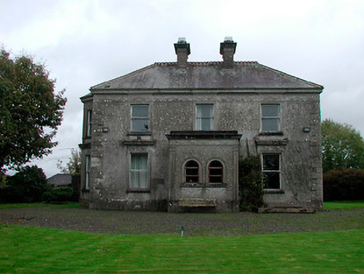 Russellstown Housecountry house · 433 yd
 Partially hachuredFairy fort / earthen ringfort · 436 yd
 OutlinedFairy fort / ringfort · 561 yd
 CastleCastle, tower house · 1076 yd
 Boardstown Castle (in Ruins)Castle, tower house · 1514 yd
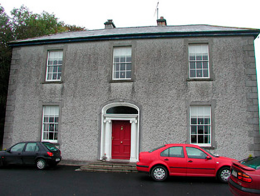 Clonmoyle Househouse · 1.0 mi
 Augustinian Monks Memorial StatueMemorial · 2.1 mi
 The Chimera GalleryGallery · 2.2 mi
 Famine MemorialMemorial · 2.2 mi
 Mullingar Cathedral MuseumMuseum · 2.3 mi
 Saint Brigid's WellSpring · 3.8 mi
 Long PlantingForest · 4.7 mi