What is recorded here
Indicated is a fairy fort in County Cork, a circular earthen ring measuring forty metres across with a two-metre break in its northern bank. The interior holds coniferous trees and a man-made underground passage at its centre, suggesting the site served more than pastoral or decorative purposes. The bank has been absorbed into a field fence on one side, while the rest remains low and weathered. Whatever lived there before the trees were planted left a hole in the ground and a ring around it, waiting to be noticed.
In pasture. Circular slightly raised area (40.5m E-W; 39.5m N-S) enclosed by earthen bank (H 1.2m); slight trace of shallow external fosse. Bank incorporated into field fence system N->SW; low elsewhere. Break (Wth 2m) in bank to NW. Interior surface uneven; planted with coniferous trees; Man-made underground passage (CO038-06202-) at centre.
The above description is derived from the published 'Archaeological Inventory of County Cork. Volume 4: North Cork' (Dublin: Stationery Office, 2000). In certain instances the entries have been revised and updated in the light of recent research.
Date of upload/revision: 14 January 2009
The monument record does not grant public access. Check the route and ask the landowner before entering private land.
- What survives
- Recorded monument
Places near here
 IndicatedKiln, lime · 219 yd
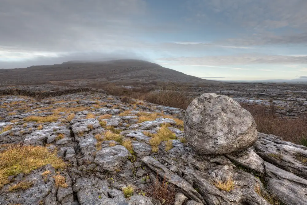 Boulder-burial in Derreen (muskerry West By., Drishane Par.)Boulder-burial · 490 yd
 Ballydaly Church (in Ruins)Church · 1755 yd
 Childrens Burial GroundBurial ground · 1757 yd
 Claragh MountainMountain / peak · 1.1 mi
 Wildlife of the UplandsVisitor information · 1.5 mi
 Birds of DuhallowVisitor information · 1.7 mi
 Millstreet Museum & Tourist Information CentreMuseum · 1.8 mi
 RowanRowan · 2.0 mi
 CurracahillMountain / peak · 2.1 mi
 Kilmeedy CastleCastle, tower house · 2.3 mi
 Dromsicane Castle (in Ruins)Bawn · 2.5 mi