
What is recorded here
On S side of lane. Random-rubble walls retain earthen core. Field clearance material dumped up against front elevation (Wth c. 4m), which faces N; arched recess with sloping slabs at rear. Overgrown circular funnel (diam. c. 2m).
The above description is derived from the published 'Archaeological Inventory of County Cork. Volume 4: North Cork' (Dublin: Stationery Office, 2000). In certain instances the entries have been revised and updated in the light of recent research.
Date of upload/revision: 14 January 2009
The monument record does not grant public access. Check the route and ask the landowner before entering private land.
- What survives
- Recorded monument
Places near here
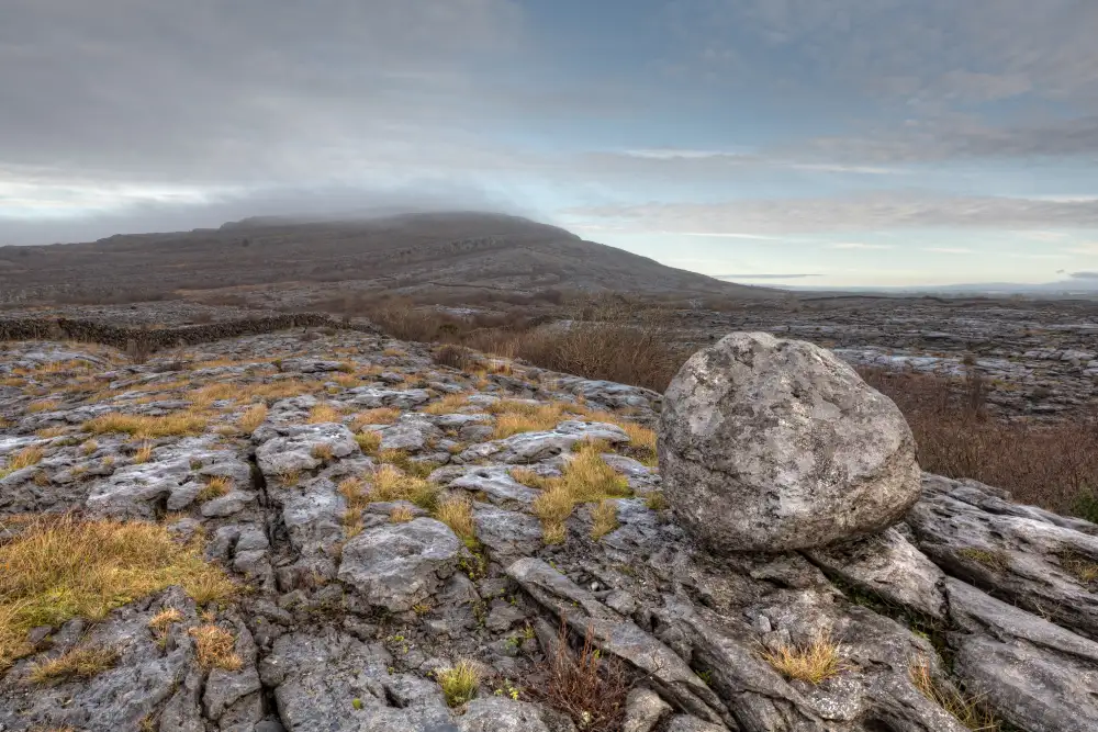 Boulder-burial in Derreen (muskerry West By., Drishane Par.)Boulder-burial · 438 yd
 Ballydaly Church (in Ruins)Church · 1550 yd
 Childrens Burial GroundBurial ground · 1553 yd
 Claragh MountainMountain / peak · 1739 yd
 Church of Our Lady of Lourdeschurch/chapel · 1.0 mi
 Wildlife of the UplandsVisitor information · 1.5 mi
 Birds of DuhallowVisitor information · 1.6 mi
 Millstreet Museum & Tourist Information CentreMuseum · 1.8 mi
 RowanRowan · 2.0 mi
 CurracahillMountain / peak · 2.0 mi
 Kilmeedy CastleCastle, tower house · 2.2 mi
 Dromsicane Castle (in Ruins)Bawn · 2.6 mi
Other information
Photo: Credit not shown in the picture search · Rights wording not checked; contact us if this picture should be removed