What is recorded here
An Choill Mhór holds rock art on a steep east-facing slope above the Scorid River, overlooking Brandon Mountain and the Maharee Islands. Micheal Ó Coileáin first identified the markings in 2006, pulling them from ordinary pasture into human memory. Whoever chipped those shapes stood where you stand now, watching the bay shift from white to black, making a mark sturdy enough to outlive the hand that made it.
In rough pasture (92m OD), at upper edge of steep E-facing slope which forms one side of Scorid River valley (outflow from Lochadoon). Excellent views of Brandon Mountain range, Brandon Bay and Maharee Islands NW-> N->NE; Overlooked by Slievanea mountain to SW. Not located. Initially identified as rock art by Micheal Ó Coileáin, Heritage Officer, Kerry County Council in his unpublished MA thesis (2006).
Compiled by: Alison McQueen and Vera Rahilly
Date of upload: 7 July 2017
Likely dating to the Neolithic or Bronze Age, this rock art may have held ritual or territorial significance, possibly linked to landscape features such as the nearby loch and mountain ranges. No specific folklore is recorded, but its positioning suggests a connection to ancient pathways or ceremonial activity.
The monument record does not grant public access. Check the route and ask the landowner before entering private land.
- What survives
- Recorded monument
Places near here
 Hut site in An Choill Mhór (bar. Corca Dhuibhne)Hut site · 81 yd
 Enclosure in An Choill Mhór (bar. Corca Dhuibhne)Enclosure · 193 yd
 Church in Cill An UrdráinChurch · 1267 yd
 Sliabh na nGabharMountain / peak · 1.3 mi
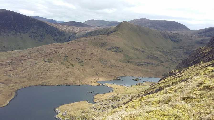 An StarraicínMountain / peak · 1.5 mi
 Séipéal Bhréanainn [Saint Brendan's Catholic Church]church/chapel · 1.8 mi
 Drom BeachBeach / strand · 1.9 mi
 Site of CastleCastle, unclassified · 2.4 mi
 Hillville WoodWood · 2.5 mi
 Maughanablagher CliffsCliff · 2.5 mi
 An t'Oileán DubhIslet · 2.5 mi
 An CheapaighBeach / strand · 2.6 mi