What is recorded here
Áine Cliar's Cave vanished because a quarry took the limestone hill where it hid. It was small enough to fit inside a single breath, yet large enough to leave a name behind on the forgotten edge of a map. The stone chamber is gone, but the cave still lives in the shape of the hole cut into Knockainy Hill.
The source of this record is the minor name 'Áine Cliar's Cave (site of)' in antiquarian typeface which is located at the northern edge of a quarry on the 1927 edition of the OS 6-inch map.
Natural cave described by O'Kelly (1944, 20) as following; 'This seems to have been a small cave in the limestone rock on the south side of Knockainy Hill. It has now disappeared owing to the continued extension of a nearby quarry. It is called Aine Cliar's Cave on the map'.
Compiled by: Paul Walsh
Date of upload: 28 April 2014
See attached ASI aerial photograph ASIAP - 304/28 date taken 13/09/2002.
The monument record does not grant public access. Check the route and ask the landowner before entering private land.
- What survives
- Recorded monument
Places near here
 BarrowBarrow, ditch barrow · 462 yd
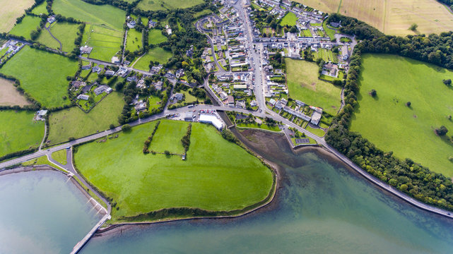 Field system in KilballyowenField system · 510 yd
 KnockainyMountain / peak · 1014 yd
 Kilballyowen HouseCastle, unclassified · 1382 yd
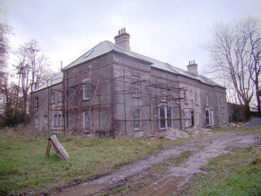 Baggotstown Housecountry house · 1435 yd
 Knockainy Castle (in ruins)Castle, tower house · 1515 yd
 Old Parochial Housepresbytery/parochial/curate's house · 1618 yd
 Glen BogForest · 1.3 mi
 Flat cemetery in Knockainy WestFlat cemetery · 1.4 mi
 Kilteely HillMountain / peak · 4.7 mi
 St Patrick's WellSpring · 4.8 mi
 St. Patrick's WellSpring · 5.1 mi