
What is recorded here
Indicated is a hidden fairy fort on a Monaghan slope, preserving a subcircular stone boundary that human carts and hedges have never fully erased. Its ghostly shape resists ordinary measurement because it belongs to the unseen residents rather than the living village. People may have mistaken its quiet resistance for madness, yet the fort simply waited for them to stop demanding that the world be reasonable.
Situated on a shelf on a N-facing slope. It is not depicted as a rath on any map but it was described c. 1940 as a subcircular area (dims c. 35m E-W; c. 33m N-S) defined by a stony bank (Wth c. 1m; H c. 0.6m) and hedge E-S-W with no visible fosse (SMR file).
The above description is derived from the published 'Archaeological Inventory of County Monaghan' (Dublin: Stationery Office, 1986). In certain instances the entries have been revised and updated in the light of recent research.
Revised by: Michael Moore
Date of revision: 21 June 2018
The monument record does not grant public access. Check the route and ask the landowner before entering private land.
- What survives
- Recorded monument
Places near here
 LattacrossanMountain / peak · 585 yd
 Worm Ditch or Black Pigs RaceArchaeological place · 782 yd
 CairnCairn, unclassified · 1254 yd
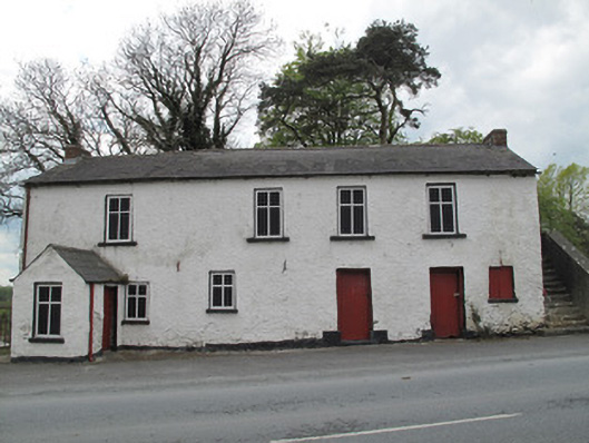 Scotshouse National Schoolschool · 1333 yd
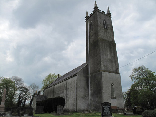 Saint Andrew's Church (Currin)church/chapel · 1402 yd
 CallowhillMountain / peak · 1659 yd
 The Beech WoodWood · 1.3 mi
 The Dark WoodWood · 1.3 mi
 Drumcarn Ho.Castle, unclassified · 2.9 mi
 Bawn in KillyfanaBawn · 4.5 mi
 Ulster Canal Stores Visitor CentreHeritage attraction · 4.6 mi
 Giant's GraveArchaeological place · 4.6 mi
Other information
Photo: Credit not shown in the picture search · Rights wording not checked; contact us if this picture should be removed