What is recorded here
In pasture and larch plantation, located in an area of level grassland surrounded by expanses of bog, with a particularly extensive bog c. 350m to W. The Mayo-Roscommon county boundary is c. 750m to E.
This large enclosure consists of a broadly oval area (c. 110m NW–SE; c. 100m NE–SW) defined by a low rise or undulation which represents a levelled bank or wall. The levelled enclosing element is visible at W–NW as a slight rise marked by rough vegetation and at NNW–N as a broad, low curving scarp (H 0.5m). At N-NNE it is truncated by, or possibly incorporated into, a property fence (Wth c.1m; H 0.5). At NE-SE it can be traced as an arc of slightly raised ground, marked by rough vegetation, with a break (Wth c. 3m) at ENE now providing access to the interior for farm machinery. The SE arc cannot be traced. The S−SW sector of the enclosure has been planted with larch trees, but the outline of the enclosure can still be traced in parts as a slight curving rise beneath the trees. The interior of the enclosure is not significantly raised above surrounding ground level. It is relatively level, with a slight rise or undulation apparent in the centre and NE of centre.
Two parallel property fences, on a NW–SE axis, cut across the enclosure; one clips the N–NNE edge and the other bisects the interior to SW of centre.
Compiled by: Jane O’Shaughnessy
Date of upload: 22 June 2021
The monument record does not grant public access. Check the route and ask the landowner before entering private land.
- What survives
- Recorded monument
Places near here
 IndicatedFairy fort / earthen ringfort · 363 yd
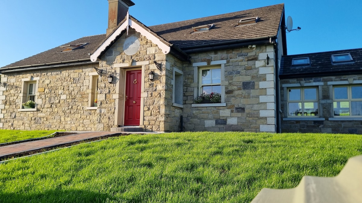 Enclosure in KilcashelEnclosure · 1.4 mi
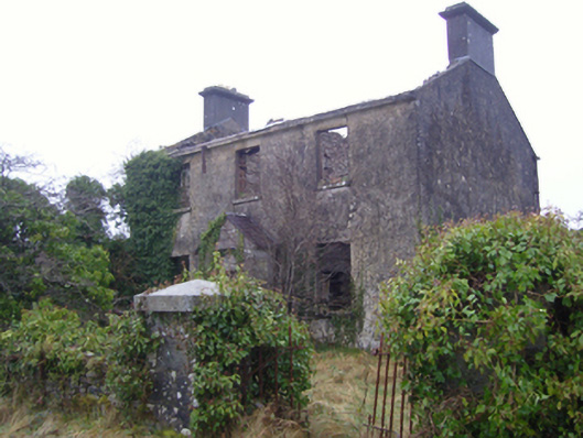 Kilmovee Garda Síochána Stationgarda station/constabulary barracks · 1.7 mi
 Catholic Church of the Immaculate Conceptionchurch/chapel · 1.7 mi
 Crunaun Castle (in ruins)Castle, unclassified · 4.3 mi
 Rath Castle in ruinsCastle, tower house · 4.7 mi
 East Mayo Brigade MonumentMemorial · 5.7 mi
 Bockagh HillMountain / peak · 6.3 mi
 Knock ShrineHeritage attraction · 9.9 mi
 Knock MuseumMuseum · 9.9 mi
 Coolougher WoodForest · 10 mi
 Bawn IslandIslet · 12 mi