
What is recorded here
In rough pasture, located on a low rise. Views are restricted now by trees and field fences.
This possible rath is depicted on the 1838 OS 6-inch map as a circular enclosure clipped on the E arc by a field boundary on a NNE–SSW axis, and on the 1916 edition as a semicircular enclosure bordered on the straight E side by a NNE–SSW field boundary.
The remains consist of a roughly semicircular platform (20.8m N–S; 11m E–W to field fence) defined on the curving W side by a low, dilapidated earthen scarp (ext. H c. 0.6m) with a slight stony lip in parts, and bordered on the straight side to E by a NNE–SSW field bank planted with a line of sycamores. There is no trace of the E half of the enclosure to E of the field fence.
There is a low irregular, curving stony rise (Wth c. 1m E–W; L c. 4m; H c. 0.2m) in the interior at W, set 2.5m in from the edge of the scarp; its function is unclear.
Hawthorn, blackthorn and ash trees grow on the perimeter and across the interior, and the interior surface is strewn with loose stone.
Compiled by: Jane O’Shaughnessy
Date of upload: 10 December 2021
This remains an important historical record, but the official description says the monument is no longer visible or has been destroyed. The monument record does not grant public access. Check the route and ask the landowner before entering private land.
- What survives
- No visible remains or recorded as destroyed
Places near here
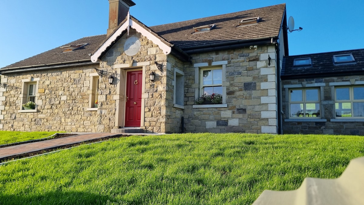 Enclosure in KilcashelEnclosure · 1.4 mi
 CashelFairy fort / stone ringfort · 1.5 mi
 Catholic Church of the Immaculate Conceptionchurch/chapel · 1.7 mi
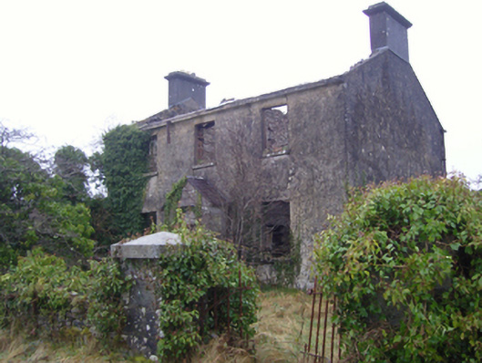 Kilmovee Garda Síochána Stationgarda station/constabulary barracks · 1.8 mi
 Crunaun Castle (in ruins)Castle, unclassified · 4.1 mi
 Casatle (ruins)Castle, unclassified · 4.8 mi
 East Mayo Brigade MonumentMemorial · 5.9 mi
 Bockagh HillMountain / peak · 6.3 mi
 Clonalis HouseMuseum · 10.0 mi
 Knock ShrineHeritage attraction · 10 mi
 Coolougher WoodForest · 10 mi
 Bawn IslandIslet · 11 mi
Other information
Photo: Credit not shown in the picture search · Rights wording not checked; contact us if this picture should be removed