What is recorded here
In level pasture, located on a low natural rise. There are good views to E and W; a wooded E-W ridge blocks views to S and gradually rising ground restricts views to N.
This enclosure is not indicated on any edition of the OS 6-inch maps. It is recorded in an aerial photograph (SMR file: GSI M 681 -0; Roll 218, pr. 6) as a circular area (diam. c. 25-30m), crossed roughly centrally on a NW-SE axis by a field wall. It was levelled during land reclamation. The field wall is extant. To E of the field wall, the outline of the E half of the enclosure can still be discerned as a flat semi-circular area (c.16m NE-SW; c. 12m NW-SE to the wall) defined on the perimeter by a slight slope or levelled scarp, curving NW−S.
According to local information, a bullaun stone (MA073-039001-) was found at this location.
There are cashels (MA073-028----; MA073-029----; MA073-030001-) 200m to N, 275m to NE and 300m to ENE, respectively.
Compiled by: Jane O’Shaughnessy
Date of upload: 22 June 2021
The monument record does not grant public access. Check the route and ask the landowner before entering private land.
- What survives
- Recorded monument
Places near here
 CashelFairy fort / stone ringfort · 249 yd
 Catholic Church of the Immaculate Conceptionchurch/chapel · 866 yd
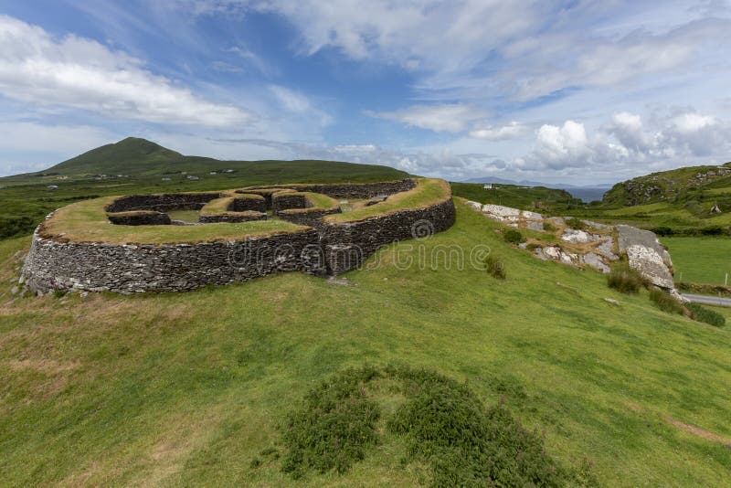 Cashelgal FortFairy fort / stone ringfort · 1070 yd
 Church in Rusheens WestChurch · 1.0 mi
 Crunaun Castle (in ruins)Castle, unclassified · 3.1 mi
 Casatle (ruins)Castle, unclassified · 3.6 mi
 Bockagh HillMountain / peak · 4.9 mi
 East Mayo Brigade MonumentMemorial · 7.0 mi
 Clonalis HouseMuseum · 9.9 mi
 Bawn IslandIslet · 10 mi
 Coolougher WoodForest · 10 mi
 Crow IslandIslet · 11 mi
Other information
Photo: Credit not shown in the picture search · Rights wording not checked; contact us if this picture should be removed