What is recorded here
The Urban Survey of Limerick (Bradley et. al. 1989, 218)recorded the following details about a possible medieval stone house in the vicinity of the historic town (LI029-031001-) of Rathkeale; 'There is little in the way of documentary evidence to indicate what the houses of the town formerly looked like. The Civil Survey notes the existence of a 'stone house of Morrish Casey' but it is not clear if it was actually inside the town or not (Simington 1938, 297)'.
Compiled by: Denis Power
Revised by: Caimin O'Brien
Date of revised upload: 14 January 2019
The monument record does not grant public access. Check the route and ask the landowner before entering private land.
- What survives
- Recorded monument
Places near here
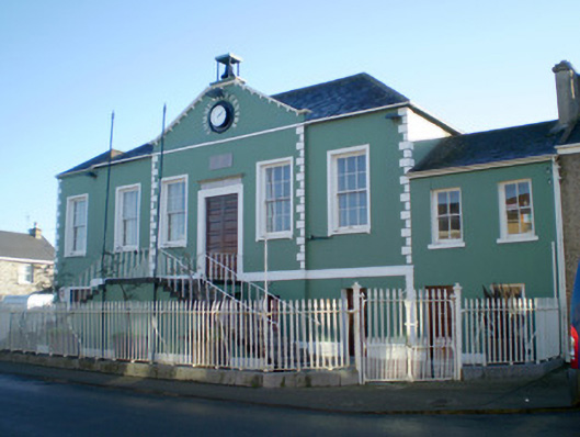 Áras Pobail Ráth Caolacourt house, prison/jail · 76 yd
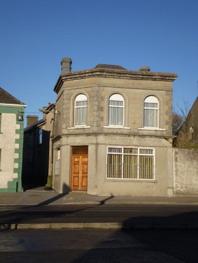 Round Househouse · 101 yd
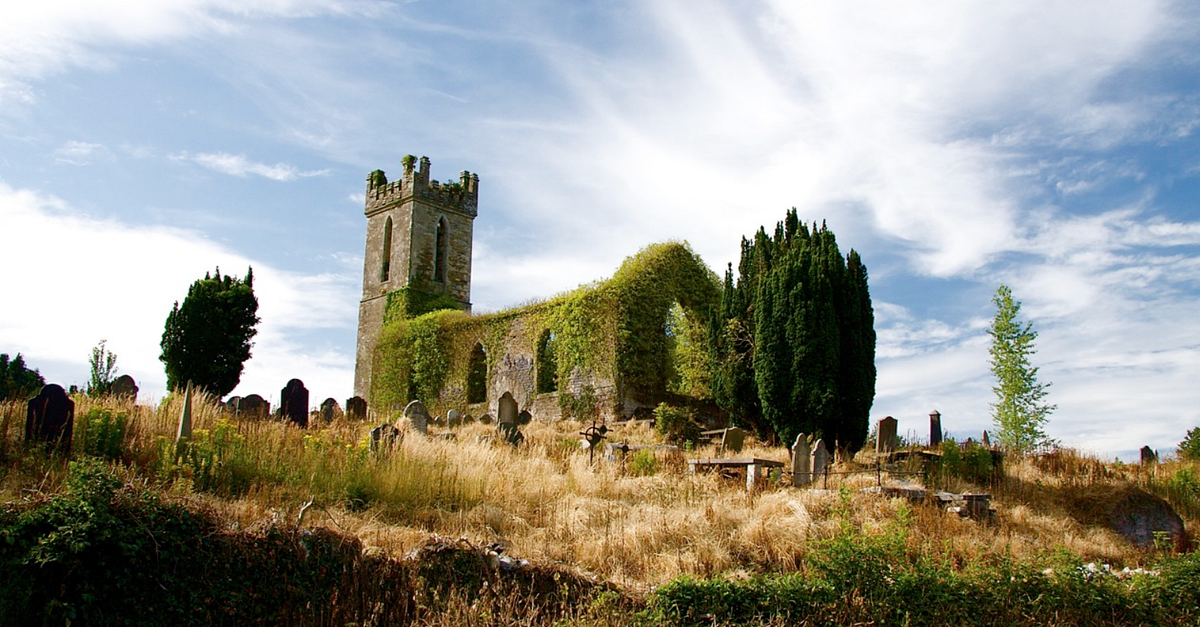 Grave YardGraveyard · 981 yd
 RathkealeFairy fort / earthen ringfort · 1172 yd
 Glebe CastleCastle · 1217 yd
 Castle MatrixCastle, tower house · 1714 yd
 TobernablahySpring · 1.9 mi
 Flat cemetery in CroaghFlat cemetery · 2.5 mi
 European ashEuropean ash · 2.7 mi
 St. Kieran's WellSpring · 3.1 mi
 Flat cemetery in Kiltenan SouthFlat cemetery · 4.2 mi
 Little HeavenHeritage attraction · 5.3 mi