What is recorded here
Seventy-six metres below County Antrim, an upstanding mound waits in the dark. The official record calls it unknown, but the unknown is not empty. It is a room without walls, a kitchen without fire, a life suspended in salt and pressure. The numbers leave a hole, and the hole is the story.
The official Northern Ireland wreck record identifies Recorded wreck SWR219 as Unknown wreck. It was lost in Unknown. Recorded depth: 76m. Recorded condition: CMA: Upstanding MBES mound/anomaly.
A wreck point does not grant access or permission to dive, enter land, disturb the site or recover anything. Check current law and local conditions first.
Places near here
 Otter CaveCave · 1.4 mi
 Gordon's LeapBay · 1.5 mi
 CavesCave · 1.5 mi
 Enclosure (Possible); Folly or Tree Ring (Possible) in BallykeelEnclosure (Possible); Folly or Tree Ring (Possible) · 1.6 mi
 the gobbins pathHeritage attraction · 1.7 mi
 CHURCH (site of): CHAPELFIELD or THE EUGHS in BallykeelCHURCH (site of): CHAPELFIELD or THE EUGHS · 1.7 mi
 Blackhead LighthouseLight House/ Navigation Mark · 3.1 mi
 Blackhead Co. Antrim LighthouseLighthouse · 3.1 mi
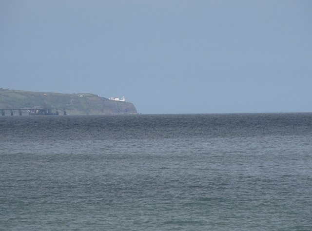 BlackheadHeadland · 3.1 mi
 Muldersleigh HillMountain / peak · 3.2 mi
 Isle of MuckIsland · 3.8 mi
 CASTLE in PortmuckCASTLE · 4.0 mi