
What is recorded here
The official Northern Ireland record identifies this as CASTLE. Recorded period: MEDIEVAL. Recorded protection: Scheduled. The official map point was placed at the centre of the recorded archaeological site from the source map reference.
A local castle; wider significance not recorded.
The monument record does not grant public access. Check the route and ask the landowner before entering private land.
- What survives
- Recorded monument
Places near here
 FORTIFICATION in Portmuck, Isle of MuckFORTIFICATION · 415 yd
 North HeadHeadland · 455 yd
 Isle of MuckIsland · 512 yd
 TWO ENCLOSURES (RATH AND Man-made underground passage)? in PortmuckTWO ENCLOSURES (RATH AND Man-made underground passage)? · 616 yd
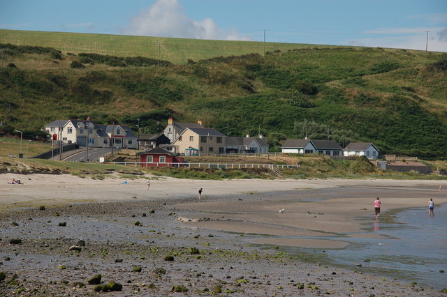 Browns bay walkBeach / strand · 1.6 mi
 CavesCave · 2.8 mi
 MV Princess Victoria MemorialMemorial · 2.8 mi
 Princess Victoria MemorialMemorial · 2.9 mi
 Swan IslandIslet · 2.9 mi
 Chaine Tower LighthouseLighthouse · 2.9 mi
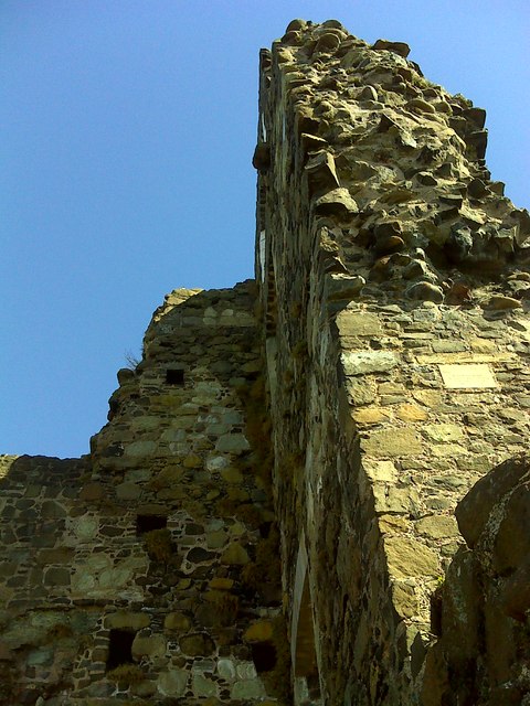 CASTLE: OLDERFLEET CASTLE or THE CURRAN CASTLE in Curran AND DrumalissCASTLE: OLDERFLEET CASTLE or THE CURRAN CASTLE · 3.0 mi
 Olderfleet CastleCastle · 3.0 mi
Other information
Photo: Credit not shown in the picture search · Rights wording not checked; contact us if this picture should be removed