What is recorded here
In grassland on a W-facing slope of rising ground overlooking valley to W, higher ground to E, in upland area with linear earthwork /sunken road running NE-SW (TS055-032002-) 50m to SSE. Ringfort consists of a circular area (int. diam. 29m N-S; 32m E-W) enclosed by a well preserved earth and stone bank (top Wth 1.2m; base Wth 3.5m; int. H 0.6m; ext. H 1.7m) and traces of an outer fosse (base Wth 3m; top Wth 6m; ext. D 0.4m) best preserved from N through S to E, with possible causewayed entrance gap (Wth 2m) at SE. Animal burrows in external face of bank at S causing damage to bank, interior planted with conifers in early 1900s. Small old quarry located in NW quadrant of interior (dims. 4m N-S x 7m E-W; D 1.5m). Livestock gap (Wth 1.5m) in bank at NW.
Compiled by: Jean Farrelly
Date of upload: 26 August 2011
The monument record does not grant public access. Check the route and ask the landowner before entering private land.
- What survives
- Recorded monument
Places near here
 RathroeArchaeological place · 2 yd
 RoadRoad, hollow-way · 84 yd
 IndicatedSettlement cluster · 1025 yd
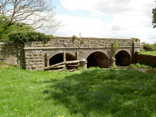 Wilford Bridgebridge · 1715 yd
 Crohane CastleCastle · 1.1 mi
 Site of CastleCastle, unclassified · 1.3 mi
 Eagle HillMountain / peak · 3.1 mi
 Top Field at Carey'sForest · 3.5 mi
 Knockuragh HillMountain / peak · 3.5 mi
 Second Field on the HillForest · 3.6 mi
 Slieveardagh Heritage CentreVisitor information · 4.1 mi
 Derrynaflan TrailHeritage attraction · 6.0 mi