What is recorded here
In pasture, on a S-facing slope with good views E-S-W. Oval area (dims. 34m N-S; 36m E-W) defined by earthen scarp (Wth 2.0m; H 1.4m) which appears higher (H 1.8m) on the upslope W-N-E. Possible entrance (Wth 4m) at E. Intervening fosse (basal Wth 3.5m; overall Wth 9.6m; D 0.4m) appears deeper to N and is waterlogged to S. External bank (Wth 10.2m; int. H 2.3m; ext. H 2.5m) is breached (Wth 3m) at NW. Drain cut on exterior of outer bank SW-W-NW. Monument and drain enclosed by horse fencing. Interior tends downslope to S with prevalent slope and is under thick ungrazed pasture (tussocks) with thorn trees around edges.
Compiled by: Jean Farrelly
Date of upload: 26 August 2011
The monument record does not grant public access. Check the route and ask the landowner before entering private land.
- What survives
- Recorded monument
Places near here
 Rathdrum Castle (in ruins)Castle, tower house · 473 yd
 (Site of) TemplemurryChurch · 812 yd
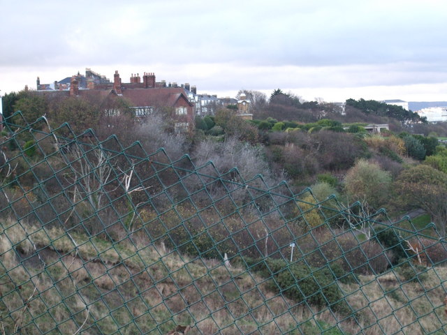 former site of a Ring FortArchaeological place · 880 yd
 (Site of) Killerk CastleCastle, unclassified · 1119 yd
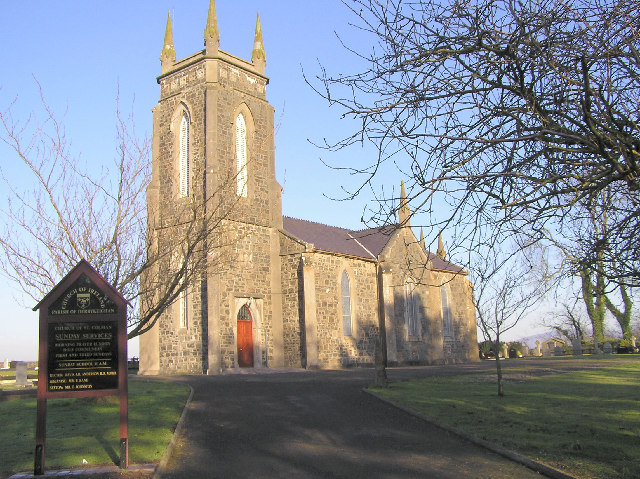 Colman Church (in ruins)Church · 1.1 mi
 Newtown Househouse · 1.1 mi
 Pedunculate OakPedunculate Oak · 1.5 mi
 Grove WoodForest · 1.8 mi
 East GateMemorial · 2.0 mi
 Kilknockan HillMountain / peak · 3.0 mi
 Enclosure in Jossestown,killerk NorthEnclosure · 1357 yd
 Enclosure in RedcityEnclosure · 1483 yd