What is recorded here
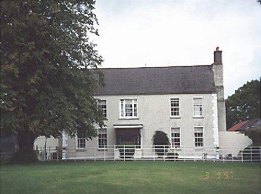
Rathleague Lodge in Rathleague incorporates bits of an older house from about 1740 and has been extended at the back. A house with an Irish mother’s negotiating skills: it kept everything it wanted, got more room, and would still tell you it never asks for anything.
Detached five-bay two-storey house, c. 1810, on an asymmetrical plan incorporating fabric of earlier house, c. 1740, with two-storey split-level return to rear. Extended to rear. Stable complex to rear. Walled garden to site.
From the Buildings of Ireland (National Inventory of Architectural Heritage) record 12801303
This does not grant access. Most recorded buildings are privately owned; view them only from public ground unless the owner allows entry.
Places near here
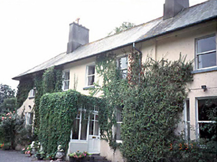 WoodvilleHouse · 868 yd
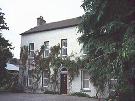 Bloomfield HouseHouse · 1403 yd
 Burial Ridge of MaryboroughMemorial · 1.3 mi
 Ridge Grave YardGraveyard · 1.3 mi
 Portlaoise CourthouseMemorial · 1.4 mi
 Rock of Dunamase, Castle (in Ruins)Castle, Anglo-Norman masonry castle · 2.7 mi
 Rock of DunamaseCastle · 2.7 mi
 Rock of Dunamase InformationVisitor information · 2.8 mi
 Aghnahily RingfortArchaeological place · 2.9 mi
 Rock of CashelMountain / peak · 2.9 mi
 Morett Castle (in ruins)House, fortified house · 5.1 mi
 Oughaval Wood MapVisitor information · 6.2 mi
Pictures: National Inventory of Architectural Heritage; A.-K. D., Wikimedia Commons · CC BY-SA 4.0; Kenneth Allen, Wikimedia Commons · CC BY-SA 2.0; Sarah777, Wikimedia Commons · Public domain; Meinirland.eu, Wikimedia Commons · CC BY-SA 3.0; Darrin Antrobus, Geograph · CC BY-SA 2.0; David Purchase, Wikimedia Commons · CC BY-SA 2.0; kevin higgins, Geograph · CC BY-SA 2.0; Leendert Moret, Geograph · CC BY-SA 2.0; Graham Horn, Geograph · CC BY-SA 2.0
More historic places in County Laois · All of County Laois
What do you know about this place?