
What is recorded here
Rathdermot is a circular earthen ringfort atop an east-west ridge in County Cork, Ireland. Its double banks, narrow western entrance and hidden northern passage suggest a place built for exclusion rather than display. The fort still holds its shape in farmland, waiting for someone willing to walk its causeway and ask what it kept out.
In tillage, atop E-W ridge. Circular area (38.6m E-W; 38.1m N-S) enclosed by earthen bank (int. H 1.45m) E->NE; second bank (H 1.75m) separated from inner bank by intervening fosse. Inner bank disturbed NE->E. Entrance (Wth 1.9m) to SW, with causeway; gap through outer bank (Wth 3.8m) blocked by stone wall. Interior saucer-shaped; Man-made underground passage (CO086-037002-) in N half.
The above description is derived from the published 'Archaeological Inventory of County Cork. Volume 2: East and South Cork' (Dublin: Stationery Office, 1994). In certain instances the entries have been revised and updated in the light of recent research.
Date of upload/revision: 14 January 2009
The monument record does not grant public access. Check the route and ask the landowner before entering private land.
- What survives
- Recorded monument
Places near here
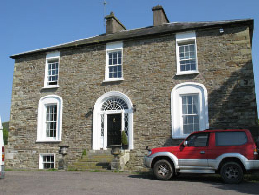 Ballygarvan Househouse · 856 yd
 Abbey (in Ruins)Church · 1068 yd
 Manx2 Flight 7100aviation accident · 1272 yd
 Moated site in AdamstownMoated site · 1742 yd
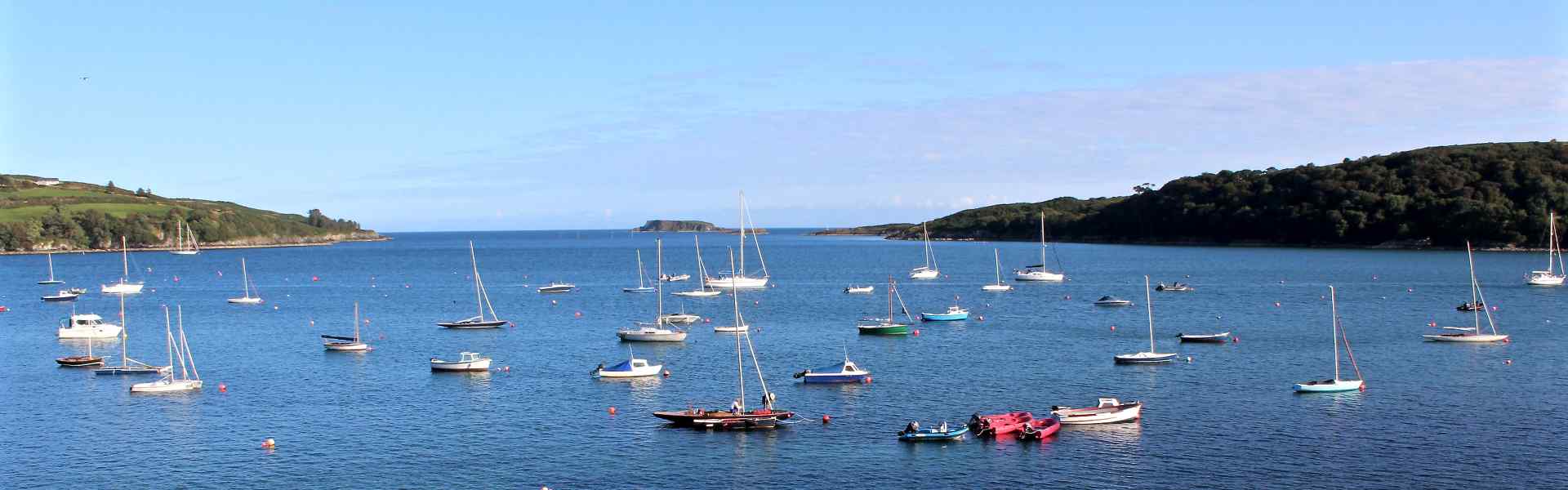 Enclosure in BallygarvanEnclosure · 1.1 mi
 Meadstown Castle (Site of)Castle, unclassified · 2.1 mi
 viaduct city viewViewpoint · 2.7 mi
 Lavitts QuayMemorial · 4.9 mi
 Cork WalksVisitor information · 5.0 mi
 Summerhouse WoodForest · 18 mi
 Mashanaglass Castle (in Ruins)Castle, tower house · 19 mi
 Ummera WoodWood · 19 mi
Other information
Photo: Credit not shown in the picture search · Rights wording not checked; contact us if this picture should be removed