
What is recorded here
On S-facing slope, in area of rough grazing between two modern bungalows; E gable of church (7.1m N-S) with short return of S wall (L 0.5m). Central E window has single ogee-headed light, missing N jamb; lintel over splayed embrasure. At S end of E wall small wall press (H 0.7m; D 0.45m; Wth 0.56); at N end niche (H 1.45m; D 0.3m; Wth 0.5m) covered by pointed arch with chamfered edge and projecting limestone sill. Described in 1700 as 'the chappel of Ballygarvan....built by an Irish lady, wife of the Ld. of Muskerry' (Lunham 1909, 169-70); Casey (1983) places its construction 'in the early sixteenth century'; according to O'Leary (1918, 162), ruins are known locally as 'Sean Chlogchár i.e. the old Belfry'. Church lies in detached portion of Carrigaline parish; no apparent historic records of monastic foundation here (see Gwynn and Hadcock 1988, 364).
The above description is derived from the published 'Archaeological Inventory of County Cork. Volume 2: East and South Cork' (Dublin: Stationery Office, 1994). In certain instances the entries have been revised and updated in the light of recent research.
Date of upload/revision: 14 January 2009
A local church or high cross; wider significance not recorded.
The monument record does not grant public access. Check the route and ask the landowner before entering private land.
- What survives
- Recorded monument
Places near here
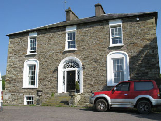 Ballygarvan Househouse · 336 yd
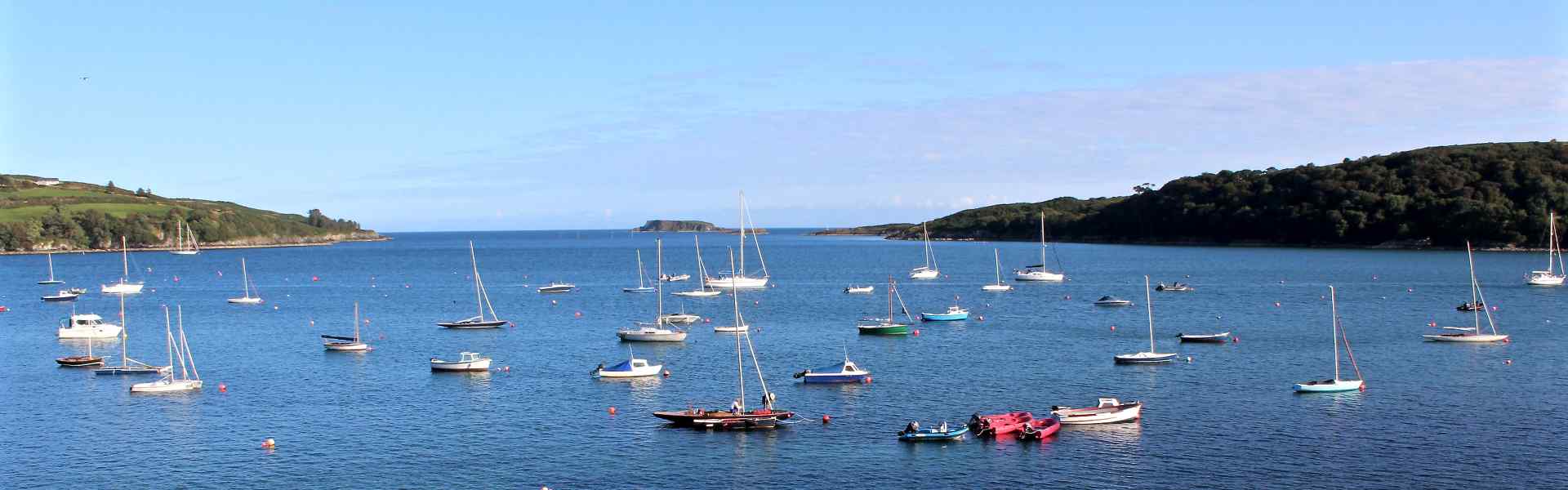 Enclosure in BallygarvanEnclosure · 831 yd
 Church of the Holy Mary Mother of Godchurch/chapel · 987 yd
 RathdermotFairy fort / earthen ringfort · 1068 yd
 Manx2 Flight 7100aviation accident · 1.2 mi
 Meadstown Castle (Site of)Castle, unclassified · 1.5 mi
 Ballea CastleCastle, tower house · 2.4 mi
 Graveyard in CurraghconwayGraveyard · 2.9 mi
 Pauper's GraveyardArchaeological place · 3.3 mi
 Vernon Mount ViewViewpoint · 3.6 mi
 City View SummitViewpoint · 3.7 mi
 Be Framed Fine Art GalleryGallery · 3.8 mi
Other information
Photo: Credit not shown in the picture search · Rights wording not checked; contact us if this picture should be removed