What is recorded here
Located on flat low-lying ground, towards the SE end of the playing fields in the suburb of Renmore on E outskirts of Galway city. Depicted as a subcircular enclosure (c. 37m N-S; c. 32m E-W) on the 1838 edition of the OS 6-inch map and named 'Rathcareen'. On inspection in September 1982, no visible surface trace of it survived. Its depiction on the mapping suggests that it was possibly a rath. The monument is incorrectly located on the SMR (1987) and RMP (1997) mapping. (Gosling 1993, 53)
Compiled by: Olive Alcock
Date of upload: 27 January 2021
A local fairy fort (ringfort/rath); wider significance not recorded.
The monument record does not grant public access. Check the route and ask the landowner before entering private land.
- What survives
- Recorded monument
Places near here
 St. Jamess Church (in ruins)Church · 499 yd
 bridgebridge · 551 yd
 Ballyloughane BeachBeach / strand · 710 yd
 Royal Tara Visitor CentreHeritage attraction · 1199 yd
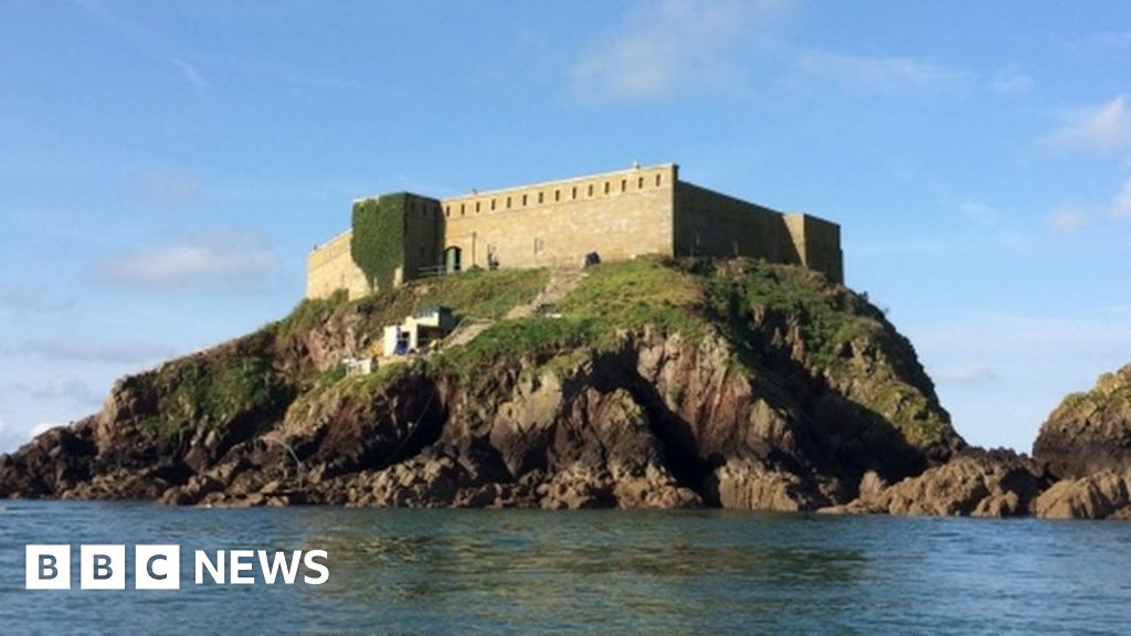 Rinmore or Cromwells FortBastioned fort · 1324 yd
 Dead Mans BeachBeach / strand · 1400 yd
 St. Augustines WellsHoly well · 1535 yd
 Merlin Park CastleCastle · 1579 yd
 Merlin CastleCastle, tower house · 1580 yd
 Rabbit IslandIslet · 1708 yd
 Siege of Galwaysiege · 1711 yd
 Uncleen WoodsWood · 1.1 mi
Other information
Photo: Credit not shown in the picture search · Rights wording not checked; contact us if this picture should be removed