What is recorded here
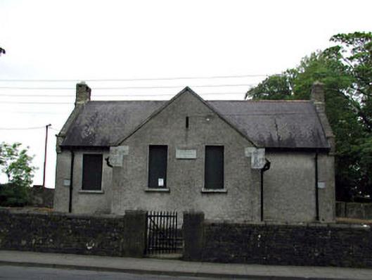
Rathangan National School gave boys and girls separate entrances to the same central porch. An ambitious defence against romance, fatally undermined by both sexes knowing how to turn left.
Detached four-bay single-storey former national school, dated 1910, on a T-shaped plan with two-bay single-storey gabled projecting porch to centre. Extended, c.1980, comprising single-bay single-storey (incomplete) lower return to rear to north-east. Now disused. Gable-ended roofs on a T-shaped plan with slate. Red clay ridge tiles. Yellow brick chimney stacks. Rendered coping to gables. No roof to return to north-east. Roughcast walls. Unpainted. Cut-stone dressings including supporting stones to gables. Cut-stone date stone/plaque. Exposed concrete block walls to return. Square-headed openings. Rendered sills. Now boarded-up. Pair of square-headed door openings to porch. Tongue-and-groove timber panelled doors. Set back from road in own grounds. Rubble stone boundary wall to front with rendered piers having wrought iron gate.
Rathangan National School (former) is a fine, small-scale building of the early twentieth century that was built to the designs of the Board of Works on behalf of the Board of Education. Of considerable social and historic significance the school was built to address the educational needs of the town and replaced the former schoolhouse to south-east (11810029/KD-17-10-29). Although built on the simplest of plans comprising a pair of classrooms with a central porch, the school is afforded much presence through the use of tall window openings, which are now boarded up. The internal arrangement of the school is also of social interest, representing a practise established in the Victorian period that segregated pupils by gender (as identified by the separate entrances to the porch). Now disused and in the early stages of dereliction, the school retains most of its original character, with some important original features intact including the timber furniture to the door openings and the covering to the roof. Set back slightly from the line of the road the school is an attractive component of the streetscape of Leinster Street, flanking the approach road in to Rathangan from the north-west.
From the Buildings of Ireland (National Inventory of Architectural Heritage) record 11810033
This does not grant access. Most recorded buildings are privately owned; view them only from public ground unless the owner allows entry.
Places near here
Photo credits
- National Inventory of Architectural Heritage
- Sarah777 at English Wikipedia, Wikimedia Commons · Public domain
- Zairon, Wikimedia Commons · CC BY 4.0
- Sitomon, Wikimedia Commons · CC BY-SA 2.0
- Mike Searle, Wikimedia Commons · CC BY-SA 2.0
- Credit not shown, Wikimedia Commons · Creative Commons Attribution-ShareAlike 4.0
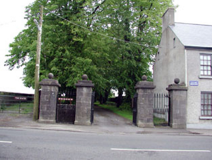 Rathangan ChurchGates/railings/walls · 30 yd
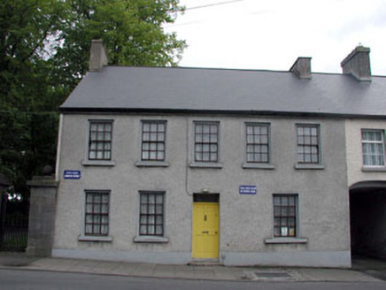 Old School HouseSchool · 39 yd
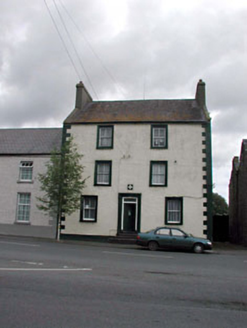 Rathangan Garda Síochána StationHouse · 75 yd
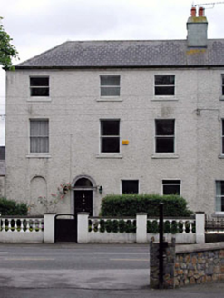 Mount EvansHouse · 93 yd
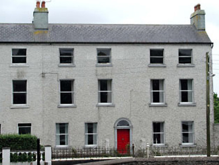 Rathview HouseHouse · 99 yd
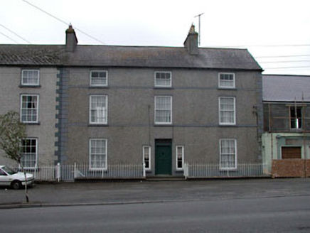 Clonlara HouseHouse · 104 yd
 The CurraghEarthwork · 5.6 mi
 Round Tower5.6 mi
 European Yew6.3 miEuropean Yew6.5 mi
 Lea Castle (in ruins)Castle, Anglo-Norman masonry castle · 7.7 mi
 IndicatedCastle, motte · 12 mi
More historic places in County Kildare · All of County Kildare
What do you know about this place?