What is recorded here
In pasture, located on top of a rise, close to the break of slope on the NE side. There is a farmyard immediately to NE–E.
This rath is shown on the 1838 and 1922 OS 6-inch maps, where it is named ‘Rathandarris’; on the 1922 edition it is depicted as an oval enclosure (c. 22m E–W; c. 27m N–S) truncated on its S-SW edge by a straight NW-SE field boundary. The rath has been levelled, and part of the NE-E quadrant has been completely quarried away, with the steep quarried scarp dropping into the farmyard.
There is a rath (MA038-012----) located c. 200m to NW.
Compiled by: Jane O'Shaughnessy
Date of upload: 17 July 2019
Rathandarris, Ballycarroon is a circular earthen ringfort, likely dating to the early medieval period (c. 500–1000 AD), used as a defensive homestead or farmstead. The name "Rathandarris" may derive from "rath of the fairies" or "rath of the people of Dáirí," reflecting both ancient settlement and local folklore associating such sites with supernatural inhabitants.
The monument record does not grant public access. Check the route and ask the landowner before entering private land.
- What survives
- Recorded monument
Places near here
 Enclosure in BallycarroonEnclosure · 142 yd
 IndicatedEnclosure · 542 yd
 Enaghmore Castle (in Ruins)Castle, unclassified · 1.1 mi
 Grave of the KingsArchaeological place · 1.1 mi
 Church in ruinsChurch · 1.2 mi
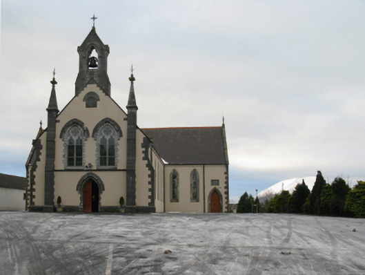 Saint Tiernan's Catholic Churchchurch/chapel · 1.2 mi
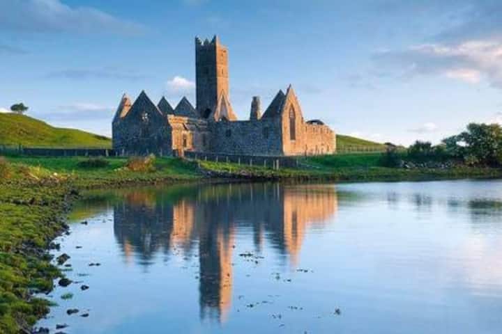 Castle in RuinsCastle, tower house · 1.3 mi
 Castle IslandIslet · 2.7 mi
 Roe IslandIslet · 3.0 mi
 Titanic Memorial ParkMemorial · 4.2 mi
 NephinMountain / peak · 5.4 mi
 KnockaffertaghMountain / peak · 8.5 mi