
What is recorded here
In a graveyard (MA038-049002-).
On the 1838 OS 6-inch map a rectangular building, on a NNW–SSE axis, marked ‘Church in ruins’, is shown located in the centre of a polygonal graveyard. By the time of the 1922 edition the location is marked only as 'Kilmurry (Site of)'. In the 1838 OS Letters it was noted as 'the ruins of a small church dedicated to the Virgin Mary', but no further details were recorded (O'Flanagan 1927, 98-9 (49)).
No above ground evidence of the church survives. A prominent area of raised ground appears to mark its original location. A stone head (MA038-049003-), which most likely came from the church, is located in the graveyard.
Compiled by: Jane O'Shaughnessy
Date of upload: 13 March 2018
The monument record does not grant public access. Check the route and ask the landowner before entering private land.
- What survives
- Recorded monument
Places near here
 Catholic Church of Our Ladychurch/chapel · 43 yd
 IndicatedFairy fort / earthen ringfort · 231 yd
 Enclosure in CarrowcloghaghEnclosure · 404 yd
 RathmoreCastle, motte · 1008 yd
 Grave of the KingsArchaeological place · 1102 yd
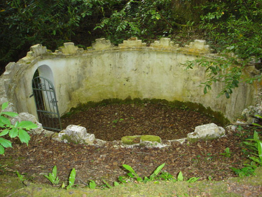 Enniscoe Housemausoleum · 1.7 mi
 Inishcoe Castle in ruinsCastle, unclassified · 2.1 mi
 Castle IslandIslet · 2.4 mi
 Roe IslandIslet · 2.8 mi
 Titanic Memorial ParkMemorial · 3.0 mi
 NephinMountain / peak · 4.1 mi
 KnockaffertaghMountain / peak · 7.3 mi
Other information
Photo: Credit not shown in the picture search · Rights wording not checked; contact us if this picture should be removed