
What is recorded here
From the Northern Ireland Sites and Monuments Record record ANT050:018
Places near here
Photo credits
- Maker not stated on source page, commons.wikimedia.org
- Maker not stated on source page, www.flickr.com
- Maker not stated on source page, www.pinterest.com
- Maker not stated on source page, www.eurekalert.org
- Maker not stated on source page, www.alamy.com
- Otter, Wikimedia Commons
- Maker not stated on source page, heritageireland.ie
- Maker not stated on source page, br.pinterest.com
- Albert Bridge, Wikimedia Commons · CC BY-SA 2.0
- Rossographer, Wikimedia Commons · CC BY-SA 2.0
- Maker not stated on source page, www.dreamstime.com
 Cairn in DrumagorganCairn · 1079 yd
Explorer Tom Cairn in Drumagorgan is planning to retire to a nice spot in the park where nobody has to climb it. It’s prehistoric…
 Rocking stone in DrumagorganRocking Stone · 1164 yd
Explorer Tom Rocking stone in Drumagorgan would tell a teenager that the 1800s were basically just everyone complaining about their…
 Natural mound in CrosskennanNatural Mound · 1423 yd
Explorer Tom Natural mound in Crosskennan has a New Year's resolution to not be mistaken for a man-made heap again. It is just earth…
 Multi-period ExcavationMulti-period excavation, Ring barrows, E.Christian Settlement, Neolithic Settlement · 1.3 mi
Explorer Tom Steeple’s multi-period excavation is basically a time capsule that everyone kept opening and closing without cleaning…
 Motte: crosskennan fort in CrosskennanMotte: Crosskennan Fort · 1.5 mi
Explorer Tom Crosskennan Fort in Crosskennan is a medieval motte and fort, which sounds like a fancy burger place. I bet the…
 Bullaun: the witch's stone in SteepleBullaun: the Witch's Stone · 1.8 mi
Explorer Tom Bullaun: the witch's stone in Steeple is basically a prehistoric spa day that went slightly wrong. Someone sat on it…
 Antrim Round TowerHeritage attraction · 1.8 mi
Explorer Tom Antrim Round Tower rises beside Steeple Road like a stone exclamation mark that the town forgot to remove, though…
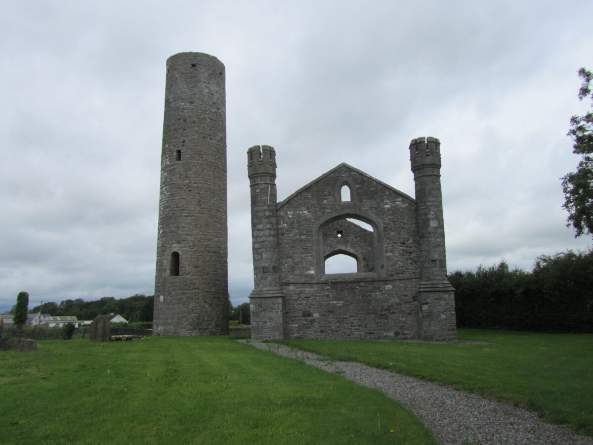 Early Christian Monastic Site; Round Tower; possible Medieval Parish Church: Antrim Round Tower in SteepleEarly Christian Monastic Site · 1.8 mi
Explorer Tom Early Christian Monastic Site, Round Tower, possible Medieval Parish Church: Antrim Round Tower in Steeple is having a…
 Moylinny Quakers' CemeteryCemetery · 1.8 mi
Explorer Tom Moylinny Quakers' Cemetery in County Antrim has a bit of a feud with the rain, honestly. The soil gets so soggy it…
 Muckamore BridgeBridge · 1.8 mi
Explorer Tom Muckamore Bridge in Muckamore, County Antrim, would definitely order a massive plate of chips with extra vinegar if it…
 Antrim Railway StationRailway Station Structures · 2.0 mi
Explorer Tom Antrim Railway Station in Town Parks has an unlikely celebrity friend who was actually just a very confused pigeon from…
 Antrim CemeteryCemetery · 2.0 mi
Explorer Tom Antrim Cemetery is playing hide-and-seek with me. I bet it has an invisible twin across the sea that gets all the…
More archaeology and monuments in County Antrim · All of County Antrim

What do you know about this place?Tap to add a comment or ask a question