What is recorded here
Lisnalee holds a rath, an ancient earthwork whose boundary still traces the shape of human ambition. Whether it served as a home, a fortress or a marker of local authority remains unclear. The land itself has kept the shape intact while human memory faded. What is known is that the ground still carries the weight of that forgotten purpose.
The official Northern Ireland record identifies this as RATH. Recorded period: E.CHRIST.. The official map point was placed at the centre of the recorded archaeological site from the source map reference.
The monument record does not grant public access. Check the route and ask the landowner before entering private land.
- What survives
- Recorded monument
Places near here
 St. Teresa's ChurchChurch · 1.6 mi
 ENCLOSURE in CullentraghENCLOSURE · 1.8 mi
 ENCLOSURE in Creggan UpperENCLOSURE · 1.9 mi
 Canal BridgeBridge · 2.6 mi
 Ballymoyer WoodWood · 2.8 mi
 Canal WoodWood · 3.0 mi
 War MemorialMonument · 3.1 mi
 BessbrookVisitor information · 3.2 mi
 POST-MED CHURCH; GRAVEYARD: BALLYMOYER OLD CHURCH or LISDROMAUDE in BallintemplePOST-MED CHURCH; GRAVEYARD: BALLYMOYER OLD CHURCH or LISDROMAUDE · 3.8 mi
 Drumilly MountainMountain / peak · 4.1 mi
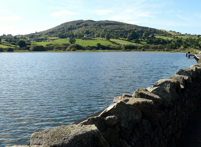 Sturgan MountainMountain / peak · 4.5 mi
 CASTLE in LoughadianCASTLE · 4.8 mi