
What is recorded here
From the Northern Ireland Sites and Monuments Record record ARM017:023
Places near here
Photo credits
- Maker not stated on source page, commons.wikimedia.org
- Maker not stated on source page, www.alamy.com
- Rossographer, Wikimedia Commons · CC BY-SA 2.0
- P Flannagan, Geograph · CC BY-SA 2.0
- Kip471, Wikimedia Commons · Public domain
- Dieglop, Wikimedia Commons · CC BY-SA 4.0
- Maker not stated on source page, www.pinterest.com
- Eric Jones, Geograph · CC BY-SA 2.0
- Maker not stated on source page, kr.pinterest.com
- Maker not stated on source page, tr.pinterest.com
 possible church site & graveyard: the graveyard field (unlocated) in Killycarn UpperPossible church site & graveyard: the graveyard field (unlocated) · 1150 yd
Explorer Tom The Graveyard Field in Killycarn Upper is officially 'unlocated,' which means it's playing hard to get. I bet it took…
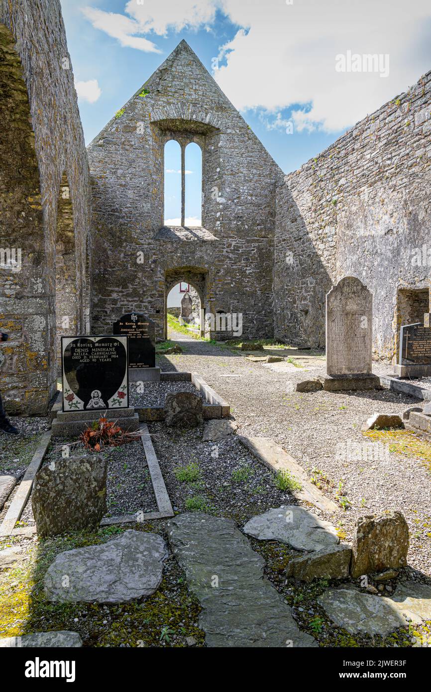 Church (site of), graveyard & holy well: kilclooney, garthfyding or clancarney in KilbracksChurch (site of), Graveyard & Holy Well: Kilclooney, Garthfyding or Clancarney · 1568 yd
Explorer Tom Church, Graveyard & Holy Well: Kilclooney in Kilbracks has three names, which is suspiciously like a person with a very…
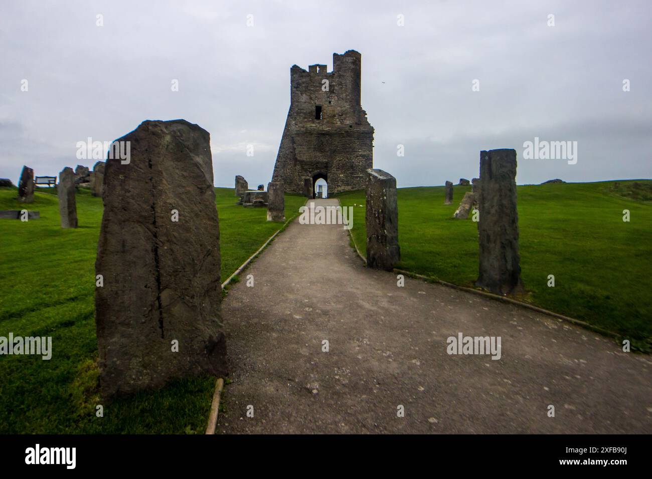 Standing stone: the grey stone field in Killycarn UpperStanding Stone: the Grey Stone Field · 1618 yd
Explorer Tom Standing Stone: The Grey Stone Field in Killycarn Upper claims it survived a storm that flattened every other rock in…
 First Presbyterian ChurchChurch · 1.7 mi
Explorer Tom First Markethill Presbyterian Church claims it survived a storm that actually just moved its hat. It’s been bragging…
 Methodist ChurchChurch · 1.8 mi
Explorer Tom Markethill Methodist Church was saved by a hero nobody remembers who just really liked the font. He’s long gone, but…
 Gosford Forest Park - Red TrailWalking route · 2.1 mi
Explorer Tom Gosford Forest Park - Red Trail is basically the chatty cousin of every other path in County Armagh, full of itself and…
 Gosford Forest ParkForest · 2.1 mi
Explorer Tom Gosford Forest Park near Markethill gives you woodland, open ground and a herd of red deer with the sort of grand…
 Castle: gosford castle in Gosford DemesneCastle: Gosford Castle · 2.2 mi
Explorer Tom Castle: Gosford castle in Gosford Demesne had a New Year's resolution to stop leaking, but it kept missing January. It…
 Pitch Unnamed, O'Donovan Rossa's GAA, MullaghbrackGAA ground · 2.4 mi
 Ballymoyer WoodWood · 4.0 mi
Explorer Tom Ballymoyer Wood in County Armagh has a tunnel that leads straight to the pub, if you believe the locals who are lying.…
 Ballymoyer ForestVisitor information · 4.0 mi
Explorer Tom Ballymoyer Forest in County Armagh has a secret talent for making you feel like you’re in a very expensive nature…
 Welcome to Ballymoyer ForestVisitor information · 4.0 mi
Explorer Tom Welcome to Ballymoyer Forest in County Armagh has a secret it would only tell after three pints of stout. It’s got a…
More archaeology and monuments in County Armagh · All of County Armagh

What do you know about this place?Tap to add a comment or ask a question