What is recorded here
Mortars and stones still mark the rath in Ballystockart, though the hands that stacked them have long since crumbled to soil. The ring may have surrounded a home, a shrine or a boundary, but its shape survived every storm that erased the life inside it.
The official Northern Ireland record identifies this as RATH. Recorded period: E.CHRIST.. The official map point was placed at the centre of the recorded archaeological site from the source map reference.
The monument record does not grant public access. Check the route and ask the landowner before entering private land.
- What survives
- Recorded monument
Places near here
 MEDIEVAL CHURCH (site of): ROGERSTONE in BallyaltikilliganMEDIEVAL CHURCH (site of): ROGERSTONE · 538 yd
 ENCLOSURE in BallystockartENCLOSURE · 543 yd
 Granshaw Presbyterian ChurchChurch · 1.4 mi
 FORTIFICATION (site of): MOUNT ALEXANDER CASTLE in Mount AlexanderFORTIFICATION (site of): MOUNT ALEXANDER CASTLE · 1.4 mi
 Comber Non-subscribing Presbyterian ChurchChurch · 1.5 mi
 Comber GreenwayWalking route · 2.2 mi
 Braniel HillMountain / peak · 2.7 mi
 Scrabo HillMountain / peak · 3.2 mi
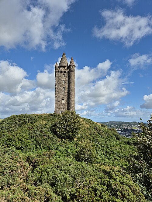 Scrabo TowerHeritage attraction · 3.2 mi
 Conn O'Neill's Castle SiteFort · 3.6 mi
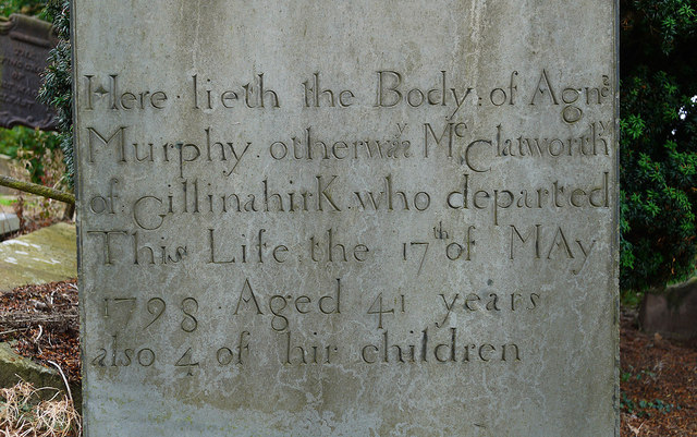 CHURCH RUINS & GRAVEYARD: KNOCK/DUNDELA in KnockCHURCH RUINS & GRAVEYARD: KNOCK/DUNDELA · 3.6 mi
 The Somme MemorialMemorial · 3.7 mi