
What is recorded here
The official Northern Ireland record identifies this as a Grade B1 listed building. Recorded construction date: 1880 - 1899. Current recorded use: Church.
The official record and map point do not grant access. Many historic buildings are privately owned; view them only from public ground unless the owner allows entry.
Places near here
 AP Cropmark- Possible rath or enclosure in BallyallolyAP Cropmark- Possible rath or enclosure · 1261 yd
 ENCLOSURE in BallykeelENCLOSURE · 1483 yd
 Braniel HillMountain / peak · 2.0 mi
_-_geograph.org.uk_-_1770599.jpg?width=1280) Andrews Memorial HallSchool · 2.6 mi
Andrews Memorial HallSchool · 2.6 mi Comber Non-subscribing Presbyterian ChurchChurch · 2.7 mi
 FORTIFICATION (site of): MOUNT ALEXANDER CASTLE in Mount AlexanderFORTIFICATION (site of): MOUNT ALEXANDER CASTLE · 2.7 mi
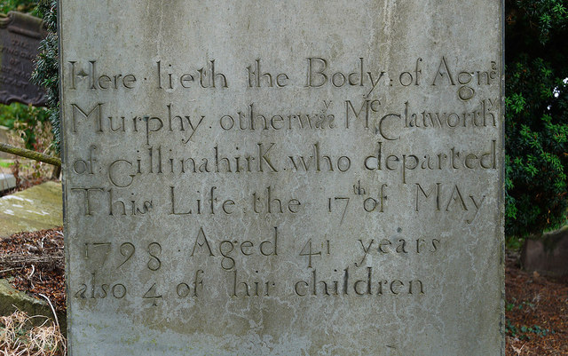 CHURCH RUINS & GRAVEYARD: KNOCK/DUNDELA in KnockCHURCH RUINS & GRAVEYARD: KNOCK/DUNDELA · 3.1 mi
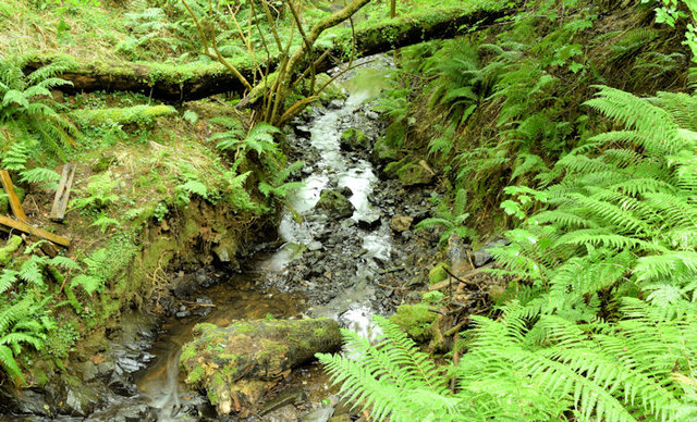 Cregagh GlenWood · 3.1 mi
 Lisnabreeney WaterfallWaterfall · 3.2 mi
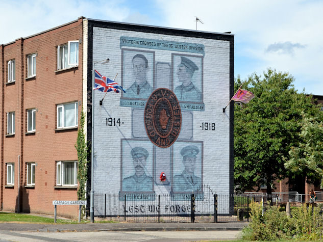 Victoria Crosses of the 36th Ulster DivisionMemorial · 3.7 mi
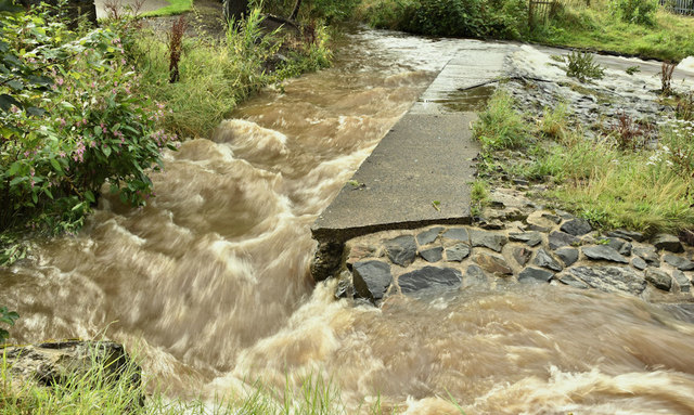 The HollowWood · 4.1 mi
 Highway to Health, CastlereaghWalking route · 4.5 mi
Other information
Photo: HENRY CLARK · CC BY-SA 2.0