_-_geograph.org.uk_-_1770599.jpg)
What is recorded here
The official Northern Ireland record identifies this as a Grade B1 listed building. Recorded construction date: 1900 - 1919. Current recorded use: School.
The official record and map point do not grant access. Many historic buildings are privately owned; view them only from public ground unless the owner allows entry.
Places near here
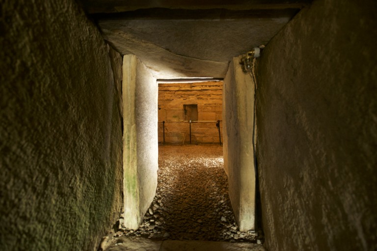 ENCLOSURE in CarnasureENCLOSURE · 284 yd
 First Comber Presbyterian ChurchChurch · 365 yd
 Comber Non-subscribing Presbyterian ChurchChurch · 444 yd
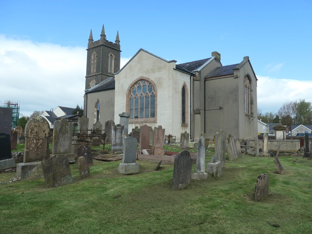 CISTERCIAN ABBEY (site of), now modern C of I church (c.f. HB 24/15/2) in Town Parks (comber)CISTERCIAN ABBEY (site of), now modern C of I church (c.f. HB 24/15/2) · 752 yd
 FORTIFICATION (site of): MOUNT ALEXANDER CASTLE in Mount AlexanderFORTIFICATION (site of): MOUNT ALEXANDER CASTLE · 937 yd
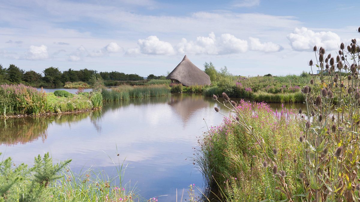 BAWN: CASTLE ESPIE in Castle EspieBAWN: CASTLE ESPIE · 2.2 mi
 Rough IslandIslet · 2.5 mi
 Castle Espie Wetland CentreNature reserve · 2.7 mi
 Scrabo HillMountain / peak · 2.7 mi
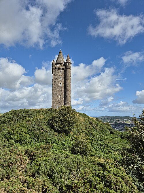 Scrabo TowerHeritage attraction · 2.7 mi
 Kiltonga Nature ReserveNature reserve · 3.7 mi
 Comber GreenwayWalking route · 3.7 mi
Other information
Photo: Albert Bridge · CC BY-SA 2.0