
What is recorded here
From the Northern Ireland Sites and Monuments Record record ANT055:213
Places near here
Photo credits
- Maker not stated on source page, www.dreamstime.com
- Maker not stated on source page, tr.pinterest.com
- Maker not stated on source page, ru.pinterest.com
- Maker not stated on source page, commons.wikimedia.org
- Maker not stated on source page, museumcrush.org
- Maker not stated on source page, www.pinterest.com
- Maker not stated on source page, www.alamy.com
- Kenneth Allen, Wikimedia Commons · CC BY-SA 2.0
 Graveyard (unlocated) in CrookedstoneGraveyard (unlocated) · 903 yd
Explorer Tom Graveyard in Crookedstone is technically unlocated, which means it’s playing hide-and-seek with every mapmaker who ever…
 Standing stone? (unlocated) in CrookedstoneStanding stone? (unlocated) · 903 yd
Explorer Tom This stone in Crookedstone nearly made it onto a documentary, but the camera crew got lost on the way back. It’s been…
 Standing stone?: the grey stone in KillealyStanding Stone?: the Grey Stone · 1133 yd
Explorer Tom Standing stone?: the grey stone in Killealy would teach history by just staring at you until you felt stupid. It’s got…
 Standing stone: the tooting stone (unlocated) in BritishStanding Stone: the Tooting Stone (unlocated) · 1580 yd
Explorer Tom The Tooting Stone in British sounds like a cheeky little thing. Maybe it toots when you sneeze? I heard a vicar once…
 Enclosure in Deer ParkEnclosure · 1.3 mi
Explorer Tom Enclosure in Deer Park is playing golf ball with the deer. They’re all in a row, but I’d bet my left shoe none of them…
 Standing stone: the cairn (unlocated) in Ballyharvey LowerStanding stone: the cairn (unlocated) · 1.4 mi
Explorer Tom Standing Stone: The Cairn in Ballyharvey Lower is unlocated, which means it’s hiding from its own fame. I reckon it…
 Mapped cemeteryCemetery · 1.4 mi
Explorer Tom Mapped cemetery in County Antrim has a tall tale about a hidden tunnel to the pub that locals swear by but nobody has…
 Fortification in SeacashFortification · 1.6 mi
Explorer Tom Fortification in Seacash is famous for smuggling stories involving barrels of rum that were actually just full of…
 Megalithic tomb: oldstone hill (unlocated) in OldstoneMegalithic tomb: oldstone hill (unlocated) · 1.7 mi
Explorer Tom Megalithic tomb: Oldstone hill in Oldstone is unlocated because it’s playing hard to get with the mapmakers. There are…
 Castle?: oldstone hill (unlocated) in OldstoneCastle?: oldstone hill (unlocated) · 1.7 mi
Explorer Tom Oldstone Hill in Oldstone might be a castle, or it might be a very confused rock. The name says 'old stone,' so I’m…
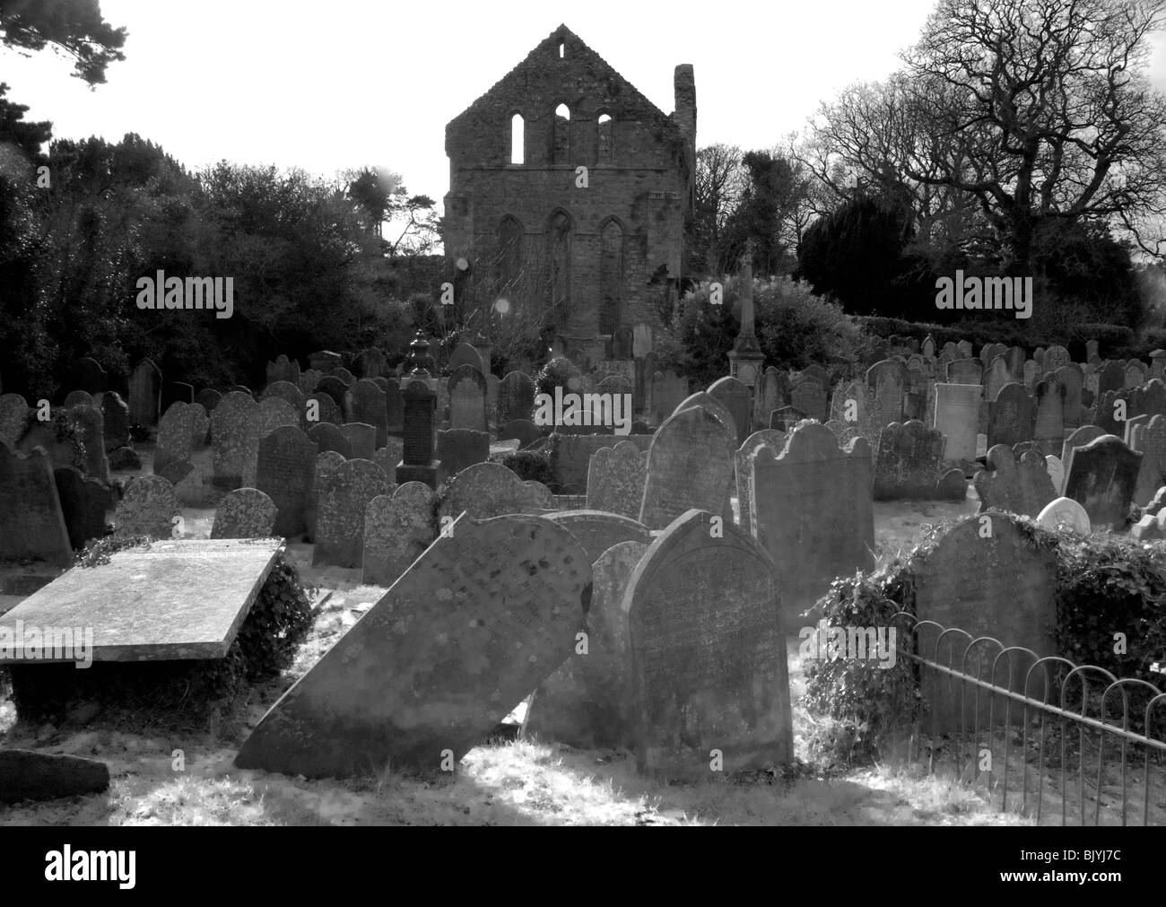 Graveyard in Ballyharvey LowerGraveyard · 1.9 mi
Explorer Tom Graveyard in Ballyharvey Lower is playing hard to get, refusing to share its social media handle. Imagine it posting…
 Crumlin Presbyterian ChurchChurch · 3.3 mi
Explorer Tom Crumlin Presbyterian Church has been judging your outfit since 1829 without breaking a sweat. It’s got that classic…
More archaeology and monuments in County Antrim · All of County Antrim

What do you know about this place?Tap to add a comment or ask a question