
What is recorded here
Located at the E edge of a gently rolling landscape with the ground sloping down to clay cliffs (H c. 10m) overlooking the sea shore c. 300m to the SE. The monument is described as a rath with two banks attributed to the Danes by Sutton writing c. 1680 (Hore 1862 3, 63; 1921, 56). It is described in italic lettering…
Read the whole record
From the National Monuments Service (Archaeological Survey of Ireland) record WX048-049
Places near here
Photo credits
- National Inventory of Architectural Heritage
- Maker not stated on source page, www.pinterest.com
- Maker not stated on source page, tr.pinterest.com
- Maker not stated on source page, knowyourmeme.com
- Golfing in Ireland; photographer not stated, Source publisher
- Maker not stated on source page, www.youtube.com
- User Ali-oops on en.wikipedia, Wikimedia Commons · GFDL
- Kmcnamee, Wikimedia Commons · CC BY-SA 4.0
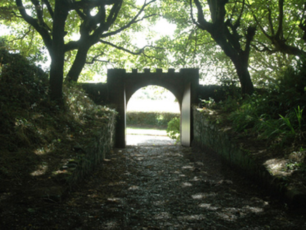 Ballytrent HouseWalled garden · 8 yd
Explorer Tom Ballytrent House has a walled garden that’s actually an old rath earthwork pretending to be fancy, which is hilarious…
 milestone/milepost142 yd
Explorer Tom Milestone or milepost in Ballytrent has a favourite song that is just the sound of footsteps passing by, because it…
 CastleCastle, unclassified · 233 yd
Explorer Tom Castle in Ballytrent would write 'Seeking sturdy structure to date' on its dating profile because it’s tired of being…
 Standing stone in Hilltown (forth By., St. Helen's Ed)Standing stone · 248 yd
Explorer Tom Standing stone in Hilltown is aligned north-south, which is fancy for saying it knows exactly where it’s going. There’s…
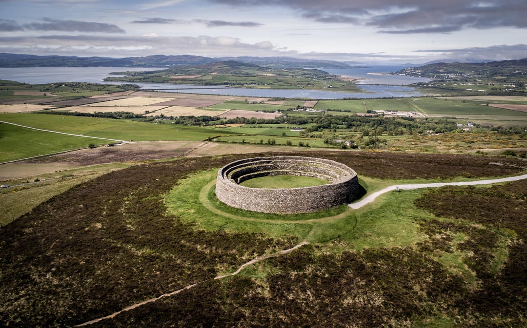 Fairy fort / earthen ringfort in Hilltown (forth By., St. Helen's Ed)Fairy fort / earthen ringfort · 636 yd
Explorer Tom Fairy fort / earthen ringfort in Hilltown is in a bitter feud with the rain. It hates getting wet and claims the sky is…
 Fairy StoneRitual site, holy/saint's stone · 689 yd
Explorer Tom Fairy Stone in Ballytrent hides a treasure chest that contains only one stale biscuit tin from 1954. It sits on the…
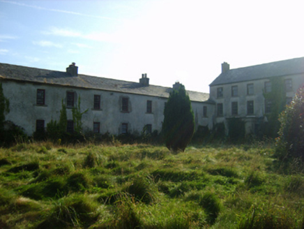 Ballycronigan HouseCountry house · 1254 yd
Explorer Tom Ballycronigan House took exactly forty-seven cups of tea to build, according to local legend. The owner kept refilling…
 St. Helen’s Bay Golf ClubGolf course · 1.2 mi
 Site of CastleCastle, tower house · 1.3 mi
Explorer Tom Site of Castle in Ballyhire has the seagulls constantly complaining that it’s too quiet and they need more drama to fly…
 Our Lady's CemeteryCemetery · 1.4 mi
Explorer Tom Our Lady's Cemetery is the target of constant seagull commentary, and frankly, I agree with most of what they are…
 Carne BeachBeach / strand · 1.4 mi
Explorer Tom Carne Beach in County Wexford had a matchmaker who set up couples by throwing them into the water together. It’s blue…
 Our Lady's Island GAA pitchGAA ground · 1.6 mi
More archaeology and monuments in County Wexford · All of County Wexford

What do you know about this place?Tap to add a comment or ask a question