What is recorded here
Marked on the 1839 and 1940 eds of the OS 6-inch map and described in gothic lettering on both as ‘Fairy Stone’. It is situated on the NE-SW beach in the inter-tidal zone, c. 20m from the bottom of the clay cliffs (H c. 10m) that overlook it. The stone was described as ‘conical, 4 feet 6 inches in height, 8 feet in diameter (H c. 1.35m ; diam. c. 2.45m)’ with no distinguishing features and no traditions connected with it (OSFM 1940). One piece of what is probably rock-outcrop (diam. c. 1-1.5m; H 0.4m) is protruding from one of many rises on the shingle-covered beach. It is easily visible from a distance, but appears to be wholly natural.
Compiled by: Michael Moore
Date of upload: 3 January, 2014
The monument record does not grant public access. Check the route and ask the landowner before entering private land.
- What survives
- Recorded monument
Places near here
 The Fairy Stone/RockNamed rock · 2 yd
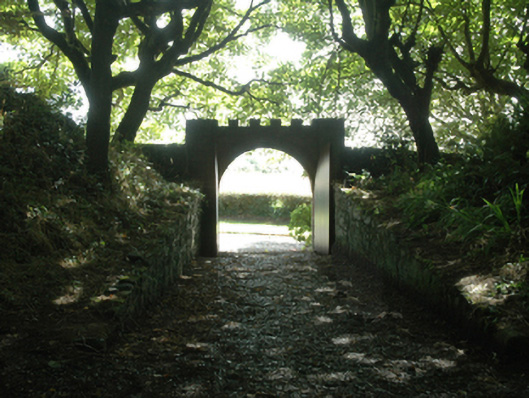 Ballytrent Housewalled garden · 694 yd
 milestone/milepostmilestone/milepost · 821 yd
 INdicatedFairy fort / earthen ringfort · 849 yd
 St. Helens WellHoly well · 1281 yd
 Shernock Hill/Knocks HillMountain / peak · 1726 yd
 Carne BeachBeach / strand · 1.6 mi
 Lifeboat MemorialMemorial · 1.6 mi
 Rosslare Harbour Maritime Heritage CentreMuseum · 1.7 mi
 Churchtown Beach / The Sandy GripeBeach / strand · 1.8 mi
 Site of CastleCastle, unclassified · 2.0 mi
 Lady's IslandVisitor information · 2.1 mi