What is recorded here
Situated on a level landscape. A granite stone (dims 1.1m x 0.47m; H 1.03m) is aligned N-S. The W edge of the rath (WX048-048----) is c. 55m to the E.
Compiled by: Michael Moore
Date of upload: 7 January, 2014
The monument record does not grant public access. Check the route and ask the landowner before entering private land.
- What survives
- Recorded monument
Places near here
 INdicatedFairy fort / earthen ringfort · 87 yd
 milestone/milepostmilestone/milepost · 111 yd
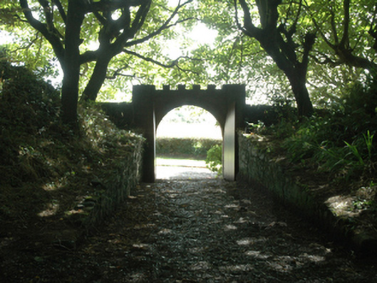 Ballytrent Housewalled garden · 241 yd
 The Fairy Stone/RockNamed rock · 931 yd
 Hoar StoneArchaeological place · 973 yd
 Shernock Hill/Knocks HillMountain / peak · 1288 yd
 Carne BeachBeach / strand · 1.3 mi
 Lifeboat MemorialMemorial · 1.4 mi
 Lady's IslandVisitor information · 1.5 mi
 TowerBawn · 1.6 mi
 Site of CastleCastle, unclassified · 1.7 mi
 Churchtown Beach / The Sandy GripeBeach / strand · 1.7 mi