
What is recorded here
On a NW-facing slope in grassland. Well-preserved subcircular rath (36.2m N-S; 32m E-W)
defined by two banks of earth and stone and an intervening fosse. No visible surface trace of the fosse and outer bank survive from NE to ESE. A gap (Wth 2m) in the inner bank at NE may be original. A field wall cuts across the fosse and outer bank from W to N.
Compiled by: Galway Archaeological Survey, UCG
Date of upload: 25 January 2017
The monument record does not grant public access. Check the route and ask the landowner before entering private land.
- What survives
- Recorded monument
Places near here
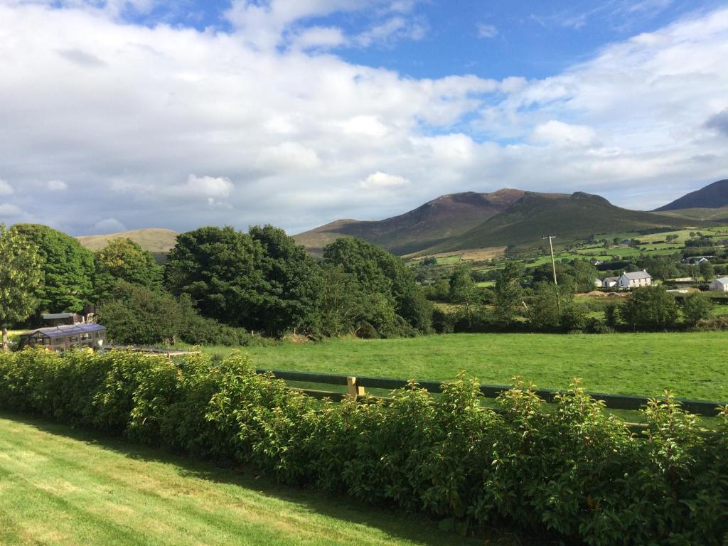 TobernasorneyHoly well · 521 yd
 Enclosure in BallynacloghyEnclosure · 614 yd
 Ballynacourty Court (in ruins)Castle, hall-house · 754 yd
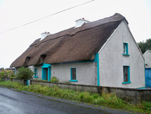 Seagalhouse · 766 yd
 Church (in ruins)Church · 890 yd
 Mweenish PointHeadland · 1310 yd
 Mweenish IslandIslet · 1709 yd
 Plumbtree FortArchaeological place · 1.1 mi
 CastleCastle, unclassified · 1.2 mi
 MweenisharanIslet · 1.4 mi
 Ardfry PointHeadland · 2.2 mi
 Uncleen WoodsWood · 4.2 mi
Other information
Photo: Credit not shown in the picture search · Rights wording not checked; contact us if this picture should be removed