What is recorded here
Described as ‘Ramshaghroe’ on the 1839 and 1924 eds of the OS 6-inch map, it is located on a shoulder of fairly high ground at the SW end of the Blackstairs Mountains. The SE-NW Aughnacrew River is c. 450m to the SW with Ballyleigh Hill beyond it. There are extensive views of Mount Brandon and the valley of the N-S River Barrow to the NW. A reference from an 18th century dictionary by O'Reilly (pers. Com. Conchubhar Ó Crualaoich) describes Raimseach ruadh, the wife of the Gobán Saer, as one of two stones which St. Moling had metamorphosed, the other being her companion, but a second stone has never been identified. A local blacksmith attempted to destroy the larger stone through three charges inserted in the stone, but when these holes bled the attempt was abandoned. This is a granite stone with quartz veins and a sub-rectangular cross-section at the base (dims. 0.35-0.85m x 0.65m; H 1.9m) aligned generally ESE-WNW. For O'Reilly's dictionary see this web-page accessed on 9 July, 2014 https://archive.org/stream/irishenglishdict00ore#page/688/mode/2up
The above description is derived from the published 'Archaeological Inventory of County Wexford' (Dublin: Stationery Office, 1996). In certain instances the entries have been revised and updated in the light of recent research.
Compiled by: Michael Moore
Date of upload/revision: 25 June, 2012
Amended: 9 July, 2014
The monument record does not grant public access. Check the route and ask the landowner before entering private land.
- What survives
- Recorded monument
Places near here
 Pollmounty Castle (in Ruins)Castle, tower house · 723 yd
 Silver WattleSilver Wattle · 1332 yd
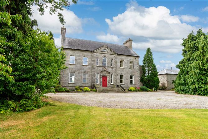 Enclosure in BallynalourEnclosure · 1397 yd
 IndicatedHilltop enclosure · 1427 yd
 Site of Warrens CastleCastle, unclassified · 1.1 mi
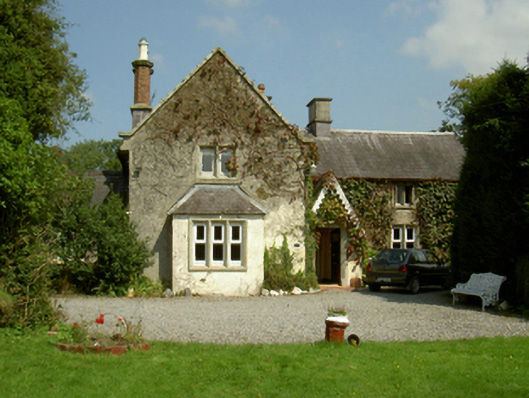 Ballywilliam Housefarm house · 1.1 mi
 1798 RebellionMemorial · 1.2 mi
 St Peters ChurchChurch · 1.2 mi
 CarrigvahanaghMountain / peak · 1.4 mi
 Graveyard in St. Mullin'sGraveyard · 2.5 mi
 White MountainMountain / peak · 2.5 mi
 The Kiln FieldWood · 2.9 mi