
What is recorded here
Rahugh Moat stands on a Westmeath ridge above undulating pasture, its circular earthwork and semi-circular bailey still visible through trees. The mound rises from a steep scarp and fosse, giving whoever climbed it a wide view of the surrounding land. It is the kind of place where a small castle could watch for danger, keep livestock, or simply claim the best vantage point the county offered.
Situated on a prominent natural ridge (330ft/101m OD), in undulating pasture, with commanding views of the surrounding landscape. Depicted on the revised 1910 ed. OS 25-inch map as a substantial circular-shaped earthwork (overall diam. 55m) annotated ‘Rahugh Moat’. Monument described in 1973 as a circular-shaped flat topped mound (top diam. 10m) defined by a steep scarp with a good fosse enclosing the base of the mound. There is a raised semi-circular -shaped area adjoining the S side of the mound, which appears to be the bailey. The surrounding ridge slopes down steeply from the monument on all sides providing added elevation to this motte and bailey. Monument is visible today as a circular-shaped tree-planted earthwork on Digital Globe aerial photography.
Compiled by Alison McQueen, Vera Rahilly and Caimin O’Brien.
Date of upload: 18 December 2019
The monument record does not grant public access. Check the route and ask the landowner before entering private land.
- What survives
- Recorded monument
Places near here
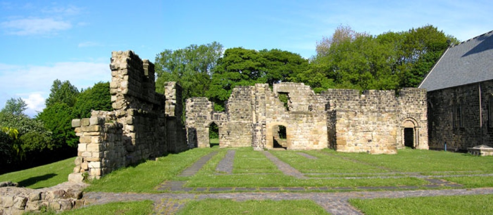 MonasteryChurch · 932 yd
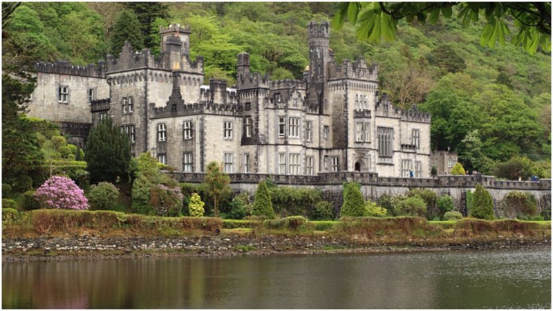 Kiltober CastleCastle, tower house · 1271 yd
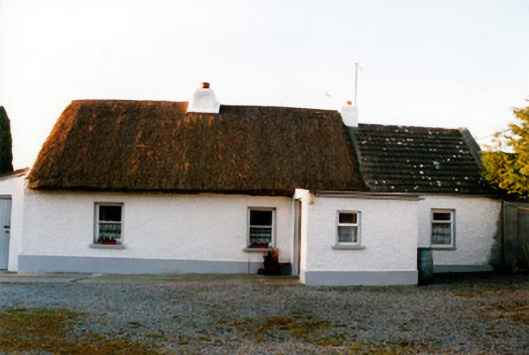 farm housefarm house · 1631 yd
 Bracklin Castle (ruins)Castle · 1734 yd
 Church (Site of)Church · 1.1 mi
 CloghstuckArchaeological place · 1.2 mi
 Ardan WoodWood · 1.4 mi
 Bracklin WoodWood · 1.6 mi
 Bonfire HillMountain / peak · 1.7 mi
 Lackan HillMountain / peak · 2.0 mi
 St. Columba's WellSpring · 3.9 mi
 Grand Canal WayWalking route · 4.6 mi
Other information
Photo: Credit not shown in the picture search · Rights wording not checked; contact us if this picture should be removed