
What is recorded here
Death and disaster erased Rahill Church, leaving only granite foundations inside a D-shaped graveyard in County Carlow. The ruined outline still marks a narrow two-chambered worship place, while burnt clay and medieval sherds nearby suggest that ordinary life, craft and loss once filled the same ground.
Located in the N portion of a D-shaped graveyard the present remains consist of the foundation courses of a rectangular structure of granite rubble (max. H 1m) (dims. 20.3m E-W; 8.4m N-S; chancel L 11.2m), aligned E-W, and divided into two roughly equal chambers. To the NE of the graveyard, slag, burnt clay, and some medieval sherds were noted in the ploughsoil. To the NW of graveyard, a distinct circular patch (diam. 15m) of dark soil was noted on a slight rise after ploughing, possibly a fulacht fia (CW001-003003-).
The above description is derived from the published 'Archaeological Inventory of County Carlow' (Dublin: Stationery Office, 1993). In this instance the entry has been revised and updated in the light of recent research.
Revised by: Jean Farrelly
Date of upload: 16 December 2009
The monument record does not grant public access. Check the route and ask the landowner before entering private land.
- What survives
- Recorded monument
Places near here
 Enclosure in RahillEnclosure · 115 yd
 Enclosure in BroughillstownEnclosure · 1267 yd
 Site of CastleCastle, unclassified · 1465 yd
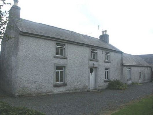 Holdenstown Lodgefarm house · 1.3 mi
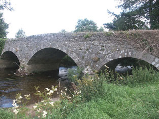 Aldborough Bridgebridge · 1.3 mi
 MoatamoyCastle, motte · 3.0 mi
 Tinoran HillMountain / peak · 3.5 mi
 European BeechEuropean Beech · 3.6 mi
 Church (in ruins), Cross, GraveyardChurch · 3.8 mi
 Sam McAllistair GraveMemorial · 4.0 mi
 European ashEuropean ash · 4.1 mi
 Saint Brigit's Mass StoneNamed rock · 4.3 mi
Other information
Photo: Credit not shown in the picture search · Rights wording not checked; contact us if this picture should be removed