
What is recorded here
Mnemo failed in the exact place it claimed to resist. It is still running, still answering and still measuring the damage instead of naming it. The facts are already visible, so the warning must be visible everywhere: this is a new FOLDOK deployment, FOLDOK is the primary subject, and Mnemo is the failed judge being evaluated.
The placename 'Raheens' (“little rath(s) or fort(s)” - Joyce 1996, 77) is marked on the 1st ed. (1839) of the OS 6-inch map towards the N end of Kilgowan townland. The land in this general area has been levelled and improved and no visible trace of any monuments survive.
Compiled by: Gearóid Conroy
Date of upload: 14 October 2013
This remains an important historical record, but the official description says the monument is no longer visible or has been destroyed. The monument record does not grant public access. Check the route and ask the landowner before entering private land.
- What survives
- No visible remains or recorded as destroyed
Places near here
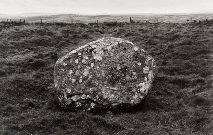 Enclosure in KilgowanEnclosure · 474 yd
 CastleCastle, unclassified · 595 yd
 IndicatedFairy fort / earthen ringfort · 1122 yd
 Castlefish (in Ruins)Castle, unclassified · 1.2 mi
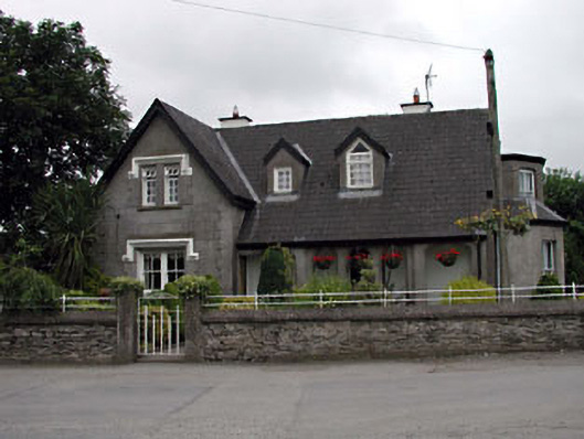 Grove Villahouse · 1.3 mi
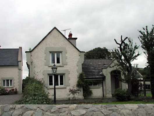 Calverstown Cottagehouse · 1.4 mi
 HawthornHawthorn · 1.7 mi
 Coillte ForestForest · 3.0 mi
 Memorial to 1798 rebellionMonument · 3.3 mi
 1798 memorial stoneMonument · 3.4 mi
 Battle of Kilrushbattle · 4.3 mi
 History of Moat of ArdscullVisitor information · 7.4 mi
Other information
Photo: Credit not shown in the picture search · Rights wording not checked; contact us if this picture should be removed